alb3291891
Marine GPS navigation device circa 1990.
| Share |
|---|
 Pinterest Pinterest |
 Twitter Twitter |
 Facebook Facebook |
 Copy link Copy link |
 Email Email |
|
Add to another lightbox |
|
Add to another lightbox |


Buy this image.
Select the use:

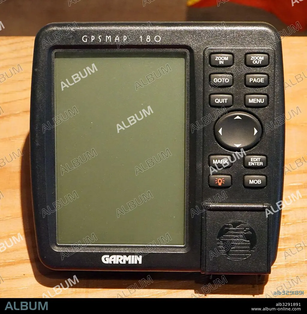
Title: Marine GPS navigation device circa 1990.
Caption: Marine GPS navigation device circa 1990. The Global Positioning System (GPS) is a space-based navigation system that provides location and time information in all weather conditions, anywhere on or near the Earth where there is an unobstructed line of sight to four or more GPS satellites
Credit: Album / Universal Images Group
Releases: ? Model Release: No - ? Property Release: No
Rights questions?
Rights questions?
Image size: 4651 × 4509 px | 60.0 MB
Print size: 39.4 × 38.2 cm | 1831.1 × 1775.2 in (300 dpi)
Keywords: DEVICE • GLOBAL • GPS • LOCATION • MARINE • NAVIGATION • POSITIONING • SATELLITE • SPACE-BASED • SYSTEM
