alb4663612
CARTE GEOGRAPHIQUE
| Share |
|---|
 Pinterest Pinterest |
 Twitter Twitter |
 Facebook Facebook |
 Copy link Copy link |
 Email Email |
|
Add to another lightbox |
|
Add to another lightbox |


Buy this image.
Select the use:

Title:
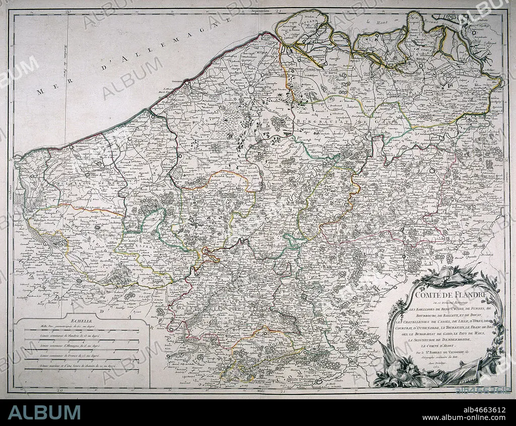
CARTE GEOGRAPHIQUE
Caption:
See automatic translation
Carte geographique du comte de Flandres, realisee par Gilles Robert de VAUGONDY (1688-1766) en 1753. Credit : Collection MX/KHARBINE-TAPABOR.
Credit:
Album / Collection MX/KHARBINE-TAPABOR
Releases:
Model: No - Property: No
Rights questions?
Rights questions?
Image size:
3006 x 2324 px | 20.0 MB
Print size:
25.5 x 19.7 cm | 10.0 x 7.7 in (300 dpi)
Keywords:
