alb4063859
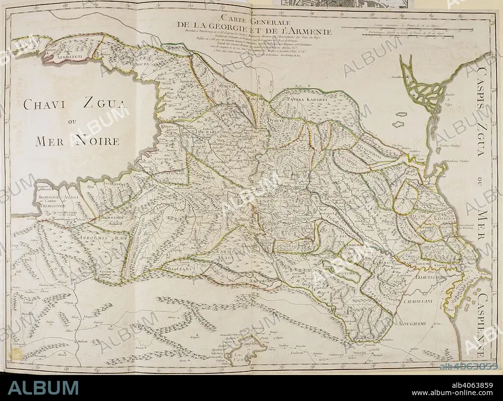
A map of Georgia and Armenia . Carte GeÌneÌrale de la Georgie et de l'ArmeÌnie. 1766. Source: Maps K.Top.114.58. Language: French.
| Share |
|---|
 Pinterest Pinterest |
 Twitter Twitter |
 Facebook Facebook |
 Copy link Copy link |
 Email Email |
|
Add to another lightbox |
|
Add to another lightbox |


Buy this image.
Select the use:

Caption:
A map of Georgia and Armenia . Carte GeÌneÌrale de la Georgie et de l'ArmeÌnie. 1766. Source: Maps K.Top.114.58. Language: French.
Credit:
Album / British Library
Releases:
Model: No - Property: No
Rights questions?
Rights questions?
Image size:
6159 x 4601 px | 81.1 MB
Print size:
52.1 x 39.0 cm | 20.5 x 15.3 in (300 dpi)
Keywords:
18TH CENTURY • 18TH CENTURY, THE • 18TH • ARMENIA • ASIA • CARTE • CARTOGRAPHIC • CARTOGRAPHY • GEORGIA • MAP MAKING • MAP • MAPS • NO ONE • NO-ONE • NOBODY • NORTH WEST ASIA • PLAN (CARTOGRAPHY) • XVIII CENTURY
