alb9008909
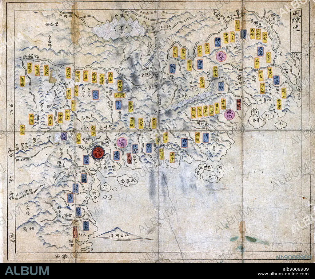
Choson, Map of Joseon Era Korea. Circa 1750 - 1800
| Share |
|---|
 Pinterest Pinterest |
 Twitter Twitter |
 Facebook Facebook |
 Copy link Copy link |
 Email Email |
|
Add to another lightbox |
|
Add to another lightbox |


Buy this image.
Select the use:

Caption:
Choson, Map of Joseon Era Korea. Circa 1750 - 1800
Credit:
Album / World History Archive
Releases:
Model: No - Property: No
Rights questions?
Rights questions?
Image size:
5010 x 4186 px | 60.0 MB
Print size:
42.4 x 35.4 cm | 16.7 x 14.0 in (300 dpi)
Keywords:
18TH CENTURY • 18TH CENTURY, THE • 18TH • CARTOGRAPHIC • CARTOGRAPHY • CHOSON, MAP • GEOGRAPHY • JOSEON ERA • KOREA • KOREAN • MANUSCRIPT • MAP MAKING • XVIII CENTURY
