alb8411663
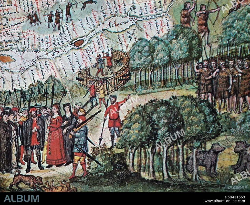
1676 map of Saguenay in the Saguenay-Lac-Saint-Jean region of Quebec, Canada
| Share |
|---|
 Pinterest Pinterest |
 Twitter Twitter |
 Facebook Facebook |
 Copy link Copy link |
 Email Email |
|
Add to another lightbox |
|
Add to another lightbox |


Buy this image.
Select the use:

Title:
1676 map of Saguenay in the Saguenay-Lac-Saint-Jean region of Quebec, Canada
Caption:
1676 map of Saguenay in the Saguenay-Lac-Saint-Jean region of Quebec, Canada, on the Saguenay River
Credit:
Album / Universal Images Group / World History Archive
Releases:
Image size:
5222 x 4016 px | 60.0 MB
Print size:
44.2 x 34.0 cm | 17.4 x 13.4 in (300 dpi)
Keywords:
17TH CENTURY • 17TH • CANADA • CANADA. • MAP • MAPS • PLAN (CARTOGRAPHY) • QUEBEC • SAGUENAY RIVER • SAGUENAY • SAGUENAY-LAC-SAINT-JEAN • XVII CENTURY
