alb12366431
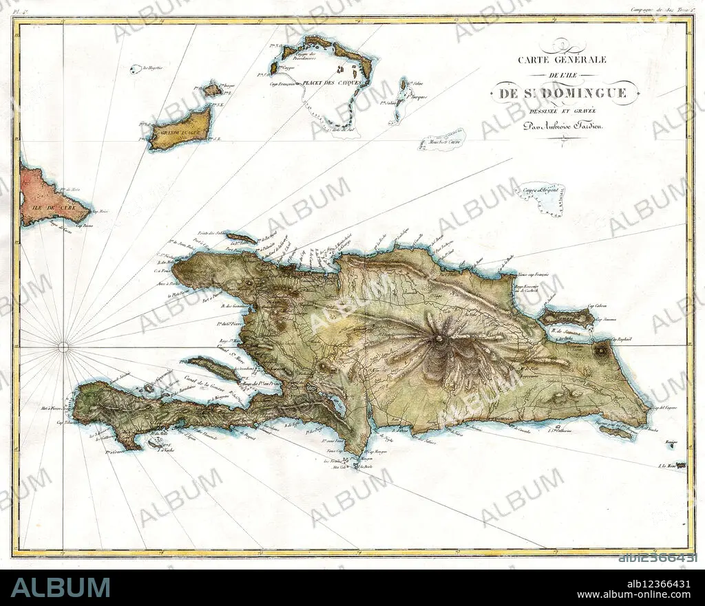
Map of Hispaniola, 1802
| Share |
|---|
 Pinterest Pinterest |
 Twitter Twitter |
 Facebook Facebook |
 Copy link Copy link |
 Email Email |
|
Add to another lightbox |
|
Add to another lightbox |


Title:
Map of Hispaniola, 1802
Caption:
A 1802 map of Hispaniola or Santo Domingo (St. Domingue) by Ambroise Tardieu.
Credit:
Album / Science Source
Releases:
Model: No - Property: No
Rights questions?
Rights questions?
Image size:
4000 x 3234 px | 37.0 MB
Print size:
33.9 x 27.4 cm | 13.3 x 10.8 in (300 dpi)
Keywords:
1802 • 18TH CENTURY • 18TH CENTURY, THE • 18TH • 19TH CENTURY • 19TH • 19TH-CENTURY • AMBROISE • CARIBBEAN • CENTURY • DOMINGO • DOMINGUE • DOMINICAN • EIGHTEENTH • HAITI • HAITIAN • HISPANIOLA • HISTORIC • HISTORICAL • HISTORY • ISLA • ISLAND • ISLANDS • JE_SINGLES • MAP • MAPS • NINETEENTH • REPUBLIC • SAINT • SAINTS • SAN • SANTO • ST • ST. • TARDIEU • XIX CENTURY • XVIII CENTURY
