alb2262730
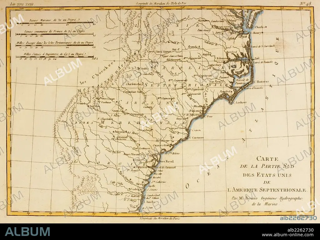
Map Of The Southern United States Of North America Circa 1760.
| Share |
|---|
 Pinterest Pinterest |
 Twitter Twitter |
 Facebook Facebook |
 Copy link Copy link |
 Email Email |
|
Add to another lightbox |
|
Add to another lightbox |


Buy this image.
Select the use:

Caption: Map Of The Southern United States Of North America Circa 1760
Credit: Album / Universal Images Group / Universal History Archive
Releases: ? Model Release: No - ? Property Release: No
Rights questions?
Rights questions?
Image size: 5363 × 3744 px | 57.4 MB
Print size: 45.4 × 31.7 cm | 2111.4 × 1474.0 in (300 dpi)
Keywords: 1760 • 18TH CENTURY • 18TH CENTURY, THE • 18TH CENTURY. • 18TH • AMERICAN • AMERICANS • BAHIA • BAY • BONNE • CAROLINA • CARTOGRAPHY • CENTURY • CHESAPEAKE • CIRCA • CONTINENT • EIGHTEENTH • GEOGRAFIA • GEOGRAPHICAL • GEOGRAPHY • HISTORIA UNIVERSAL • HISTORIA • HISTORICAL • HISTORY • HISTORY. • ILLUSTRATION • ILLUSTRATIONS • ILUSTRATION • MAKING • MAP MAKING • MAP • MAPS • NORDEN • NORTH • PLAN (CARTOGRAPHY) • RIGOBERT • ROANOKE • SOUTHERN • STATES • UNITED • XVIII CENTURY
