alb9099617
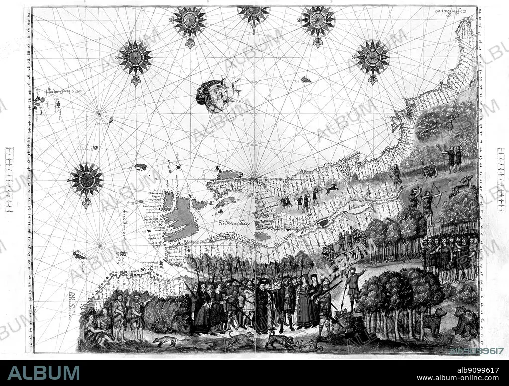
Jacques Cartier's map of Canada from the Nicholas Vallard Atlas (1547).
| Share |
|---|
 Pinterest Pinterest |
 Twitter Twitter |
 Facebook Facebook |
 Copy link Copy link |
 Email Email |
|
Add to another lightbox |
|
Add to another lightbox |


Caption:
Jacques Cartier's map of Canada from the Nicholas Vallard Atlas (1547)
Credit:
Album / TopFoto
Releases:
Model: No - Property: No
Rights questions?
Rights questions?
Image size:
5524 x 3898 px | 61.6 MB
Print size:
46.8 x 33.0 cm | 18.4 x 13.0 in (300 dpi)
Keywords:
16TH CENTURY • BOWS AND ARROWS • CANADIAN COASTLINE • CARTIER • COMPASS • EXPLORER EXPLORERS • FOREST WITH BEAR BEARS • FRANCE • FRANCIA • FRANKREICH • FRENCH • GENERAL • HISTORICAL • MAPS • NATIVE INDIANS • RENAISSANCE • SCENES OF DISCOVERY • SETTLERS
