alb9661383
Map of India, 1857. Creator: Unknown.
| Share |
|---|
 Pinterest Pinterest |
 Twitter Twitter |
 Facebook Facebook |
 Copy link Copy link |
 Email Email |
|
Add to another lightbox |
|
Add to another lightbox |


Title:
Map of India, 1857. Creator: Unknown.
Caption:
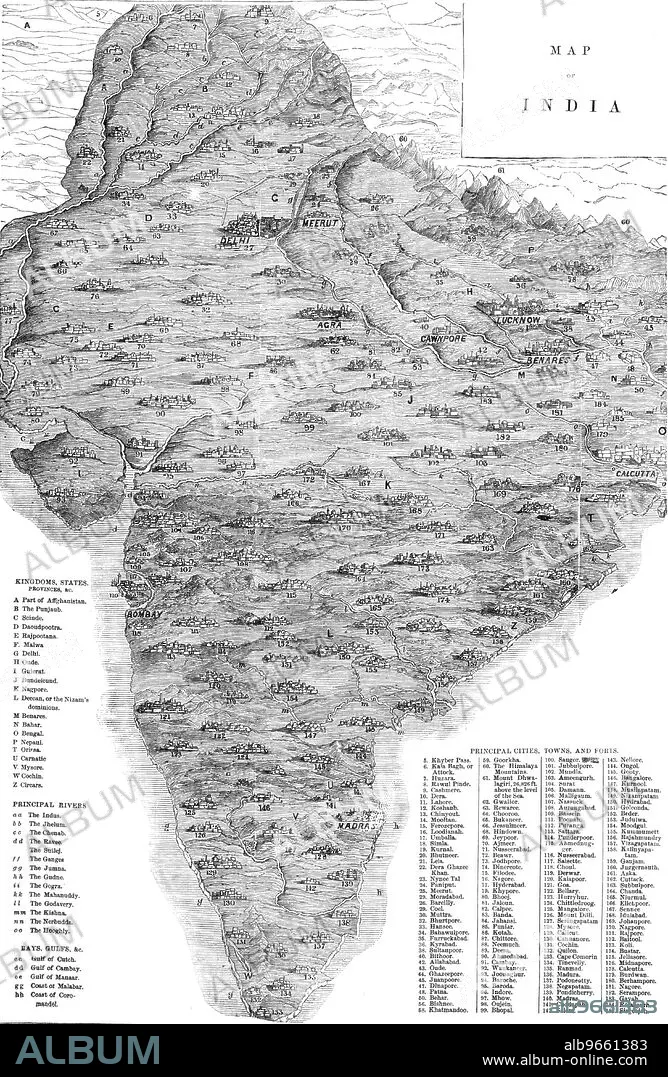
Map of India, 1857. Map of the Indian subcontinent during the British colonial period, showing 'Kingdoms, States, Provinces &c...Principal Rivers...Bays, Gulfs &c...Principal Cities, Towns, and Forts'. From "Illustrated London News", 1857.
Personalities:
Credit:
Album / The Print Collector/Heritage Images
Releases:
Model: No - Property: No
Rights questions?
Rights questions?
Image size:
3755 x 5758 px | 61.9 MB
Print size:
31.8 x 48.8 cm | 12.5 x 19.2 in (300 dpi)
Keywords:
19TH CENTURY • 19TH • 19TH-CENTURY • AFGHANISTAN • AGRA • ASIA • B & W • B / W • B&W • BENARES • BLACK & WHITE • BLACK AND WHITE • BRITAIN • BRITISH EMPIRE • BRITISH INDIA • BRITISH RAJ • BRITISH • CALCUTTA • CENTURY • CHENNAI • COAST • COASTAL • COASTLINE • COLONIAL • COLONIALISM • COLOR • COLOUR • CONTINENT • DELHI • EMPIRE • ENGRAVED • ENGRAVING • GEOGRAPHY • ILLUSTRATED LONDON NEWS • ILN • IMPERIALISM • INDIA • INDIAN SUBCONTINENT • INDIAN • KOLKATA • LOCATION • LUCKNOW • MADRAS • MAP • MARITIME • NEWSPAPER • NEWSPAPERS • NINETEENTH CENTURY • OUDH • PAKISTAN • PRESS • PRINT COLLECTOR, THE • RAJ • RAJ, THE • SEASHORE • SEASIDE • SHORELINE • TAMIL NADU • UTTAR PRADESH • VARANASI • WEST BENGAL • WHITE AND BLACK • WOOD ENGRAVING • XIX CENTURY
