alb2624775
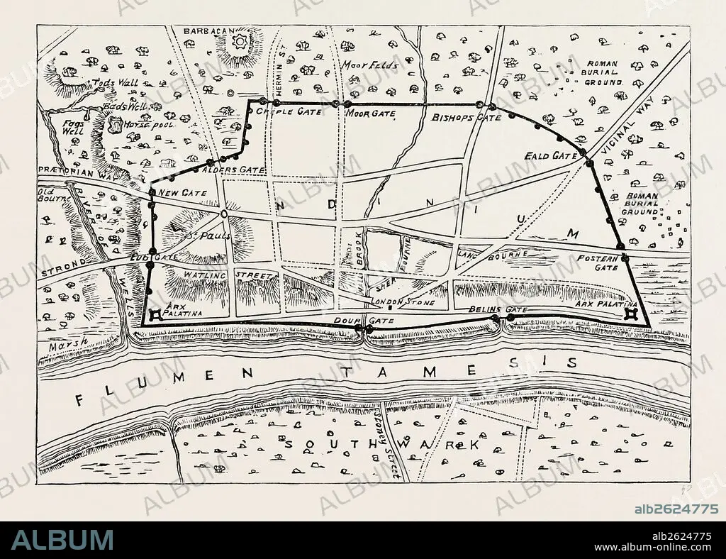
PLAN OF ROMAN LONDON, map, UK, 19th century.
| Share |
|---|
 Pinterest Pinterest |
 Twitter Twitter |
 Facebook Facebook |
 Copy link Copy link |
 Email Email |
|
Add to another lightbox |
|
Add to another lightbox |


Buy this image.
Select the use:

Caption:
PLAN OF ROMAN LONDON, map, UK, 19th century
Credit:
Album / quintlox
Releases:
Image size:
5132 x 3684 px | 54.1 MB
Print size:
43.5 x 31.2 cm | 17.1 x 12.3 in (300 dpi)
Keywords:
19 CENTURY • 19TH CENTURY • 19TH CENTURY. • 19TH • 19TH-CENTURY • MAP • MAPS • NINETEENTH CENTURY • PLAN (CARTOGRAPHY) • PLAN • ROMAN LONDON • UK • XIX CENTURY
