alb2603632
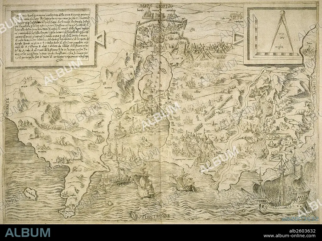
Map of the British Isles. 16th century. 1543.
| Share |
|---|
 Pinterest Pinterest |
 Twitter Twitter |
 Facebook Facebook |
 Copy link Copy link |
 Email Email |
|
Add to another lightbox |
|
Add to another lightbox |


Buy this image.
Select the use:

Caption:
Map of the British Isles. 16th century. 1543
Credit:
Album / Prisma
Releases:
Model: No - Property: No
Rights questions?
Rights questions?
Image size:
5695 x 3967 px | 64.6 MB
Print size:
48.2 x 33.6 cm | 19.0 x 13.2 in (300 dpi)
Keywords:
1543 • 16 16TH XVI XVITH SIXTEENTH CENTURY • 16 CENTURY • 16TH CENTURY • 16TH • AFRICA • AFRICAN CONTINENT • AFRICAN • ANCIENT CARTOGRAPHY • ANCIENT MAP • ART • ARTS • BRITAIN • BRITISH ISLES • CARTOGRAPHY • EIRE • ENGLAND'S • ENGLAND • ENGRAVED • ENGRAVING (ARTWORK) • ENGRAVING • ENGRAVING. • ENGRAVINGS • ETCHING • EUROPA • EUROPE • GREAT BRITAIN • GROUP OF ISLANDS • HISTORIA UNIVERSAL • HISTORIA • HISTORIC • HISTORICAL • HISTORY • IRELAND • ISLA • ISLAND • ISLANDS • LEGEND • MAP MAKING • MAPPING • MEDITERRANEAN SEA • MEDITERRANEAN • MEDITERRANEO • MODERN AGE • MODERN ERA • MODERN PERIOD • NORDEN • NORTH AFRICA • NORTH OF AFRICA • NORTH • OLD MAP • PRINT • U. K. • UK • UNITED KINGDOM • XVI CENTURY
