alb8362043
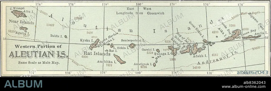
Map of the western portion of the Aleutian Islands
| Share |
|---|
 Pinterest Pinterest |
 Twitter Twitter |
 Facebook Facebook |
 Copy link Copy link |
 Email Email |
|
Add to another lightbox |
|
Add to another lightbox |


Caption:
Map of the western portion of the Aleutian Islands
Credit:
Album / Universal Images Group / Encyclopaedia Britannica
Releases:
Model: No - Property: No
Rights questions?
Rights questions?
Image size:
5436 x 1546 px | 24.0 MB
Print size:
46.0 x 13.1 cm | 18.1 x 5.2 in (300 dpi)
Keywords:
10TH EDITION • 1900 • 1900S • 1902 • 1990S • 19TH CENTURY • 19TH • 19TH-CENTURY • 90S • ALASKA • ALEUTIAN ISLANDS • ANDREANOF ISLANDS • CARTOGRAPHY • DEGREE • DETAIL • EARLY 20TH CENTURY • EARLY TWENTIETH CENTURY • EEUU • EXPLORATION • GEOGRAPHICAL • GEOGRAPHY • GRADE • HISTORIA UNIVERSAL • HISTORIA • HISTORICAL • HISTORY • HORIZONTAL • INSET • ISLA • ISLAND • ISLANDS • LATITUDE • LONGITUDE • MAP MAKING • MAP • MAPS • NINETEENTH CENTURY • NINETIES • NINETIES, THE • NINETY DECADE • NORTH AMERICA • NORTH AMERICAN • PHYSICAL MAP • PLAN (CARTOGRAPHY) • RAT ISLANDS • TENTH EDITION • U. S. A • UNITED STATES • WESTERN PORTION • XIX CENTURY
