alb5380212
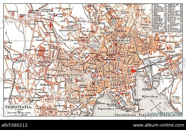
Historical map of Christiana, Copenhagen, Denmark, 19th Century, from Meyers Konversations-Lexikon encyclopaedia, 1890, Europe.
| Share |
|---|
 Pinterest Pinterest |
 Twitter Twitter |
 Facebook Facebook |
 Copy link Copy link |
 Email Email |
|
Add to another lightbox |
|
Add to another lightbox |


Caption:
Historical map of Christiana, Copenhagen, Denmark, 19th Century, from Meyers Konversations-Lexikon encyclopaedia, 1890, Europe
Personalities:
Credit:
Album / ImageBroker / H.-D. Falkenstein
Releases:
Model: No - Property: No
Rights questions?
Rights questions?
Image size:
600 x 388 px | 682.0 KB
Print size:
5.1 x 3.3 cm | 2.0 x 1.3 in (300 dpi)
Keywords:
19TH CENTURY • AGE • ÂGÉS • AUS • BOOK • BOOKING • BOOKS • CADRE • CITY MAP • CITY MAPS • COLORED • COLORFUL • COLOURED • COLOURFUL • COPENHAGEN • DANMARK • DENMARK • DEPICTION • DEPICTIONS • DRAWING • DRAWINGS • ENCYCLOPEDIA • ENCYLOPEDIAS • EUROPE • FIGURE • FIGURES • HISTORIC • HISTORICAL • HISTORY • ILLUSTRATION • ILLUSTRATIONS • IMAGE MOTIF • IMAGES • IN PAINTINGS • INTERIORS: IN PAINTINGS • KøBENHAVN • LABOR • LABOUR • MEYERS KONVERSATIONS-LEXIKON • MEYERS LEXIKON • MULTI COLORED • MULTI COLOURED • MULTI-COLORED • MULTI-COLOURED • MULTICOLORED • MULTICOLOURED • NINETEENTH CENTURY • OLD AGE • OLD • PAINTING (ACTIVITY) • PAINTING • PAINTINGS • PICTURE • PICTURES • PLAN • PLANNING • PLANS • REFERENCE BOOK • REFERENCE BOOKS • SKETCH • SKETCHES • VARIEGATED • WORK • WORKING • WORKS
