alb9203080
World Map with Prime Meridian
| Share |
|---|
 Pinterest Pinterest |
 Twitter Twitter |
 Facebook Facebook |
 Copy link Copy link |
 Email Email |
|
Add to another lightbox |
|
Add to another lightbox |


Buy this image.
Select the use:

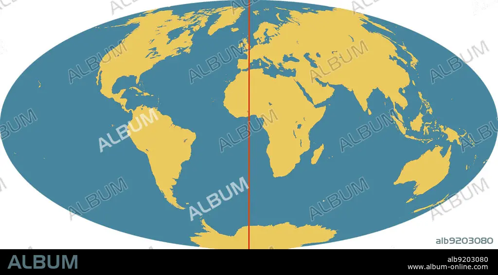
Title: World Map with Prime Meridian
Caption: Outline of world map, showing the continents, oceans and prime meridian (in red). The prime meridian (also known as the Greenwich meridian) exactly marks the position of 0 degrees longitude. It is from this that the longitude of all points on the surface of the Earth are measured. This was agreed by an international convention in 1884. The meridian passes through the original site of the Greenwich observatory.
Credit: Album / Science Source / Jessica Wilson/NASA
Releases: ? Model Release: No - ? Property Release: No
Rights questions?
Rights questions?
Image size: 4500 × 2249 px | 29.0 MB
Print size: 38.1 × 19.0 cm | 1771.7 × 885.4 in (300 dpi)
