alb3355248
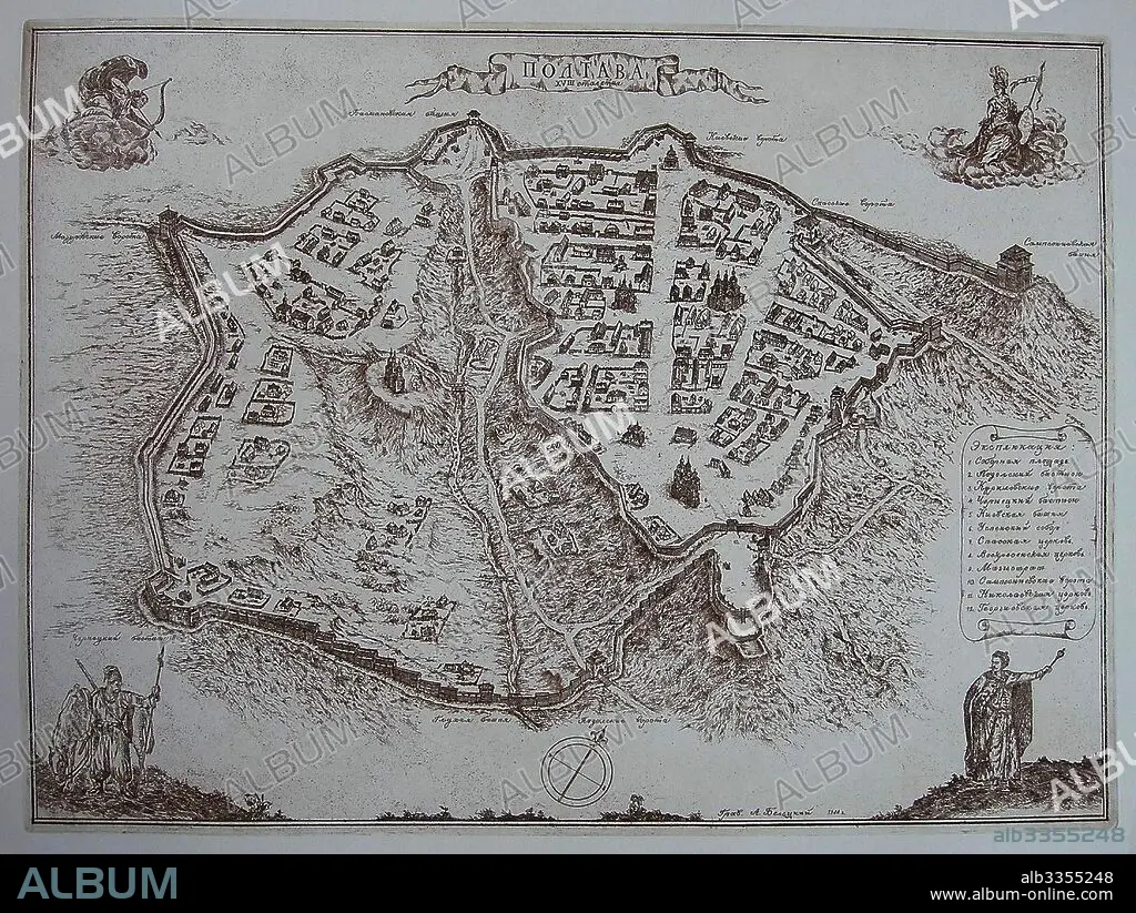
ANONYMOUS. Map of Poltava in the early 18th-century.
| Share |
|---|
 Pinterest Pinterest |
 Twitter Twitter |
 Facebook Facebook |
 Copy link Copy link |
 Email Email |
|
Add to another lightbox |
|
Add to another lightbox |


Buy this image.
Select the use:

Author:
Caption:
Map of Poltava in the early 18th-century
Technique/material:
COPPER ENGRAVING
Museum:
State Open-air Museum "Battle of Poltava", Poltava
Credit:
Album / Fine Art Images
Releases:
Model: No - Property: No
Rights questions?
Rights questions?
Image size:
4399 x 3307 px | 41.6 MB
Print size:
37.2 x 28.0 cm | 14.7 x 11.0 in (300 dpi)
Keywords:
ACTION • ANONYMOUS • ARMY, RUSSIAN • BATTLE OF POLTAVA • BATTLE • CARTOGRAPHY • CAVALRY • CHARLES XII OF SWEDEN • CHARLES XII • COPPER ENGRAVING • FIGHT • GRAPHIC ARTS • GREAT NORTHERN WAR • HISTORY • INFANTRY • INFANTRYMEN • MAP MAKING • MAP • PETER ALEXEYEVICH • PETER I ALEXEYEVICH • PETER I • POLTAVA • RUSIA • RUSSIA • RUSSIAN ARMY • RUSSIAN TROOPS • RUSSIAN VICTORY • RUSSIAN-SWEDISH WAR • SCHWEDISH ARMY • STATE OPEN-AIR MUSEUM "BATTLE OF POLTAVA", POLTAVA • SWEDEN • TSAR PETER I • UKRAINE • WAR
