alb4539003
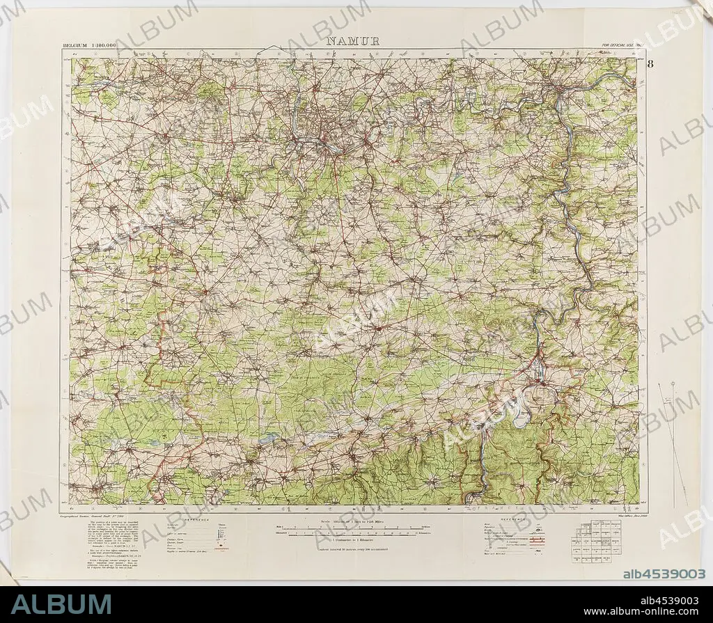
Map - Military, Belgium, Namur 8, General Staff no. 2364, Scale 1:100,000, World War I, 1910, Military map of Belgium, Namur area (a hand-written inscription identifies it as Namur 8 district), scale 1:100,000, published in 1910. The map is labelled General Staff No. 2364. It would have been used during World War I. Maps of this scale lacked the detail needed for trench warfare, instead providing an overview of regions for the use of senior commanders. Part of the collection of World.
| Share |
|---|
 Pinterest Pinterest |
 Twitter Twitter |
 Facebook Facebook |
 Copy link Copy link |
 Email Email |
|
Add to another lightbox |
|
Add to another lightbox |


Buy this image.
Select the use:

Caption: Map - Military, Belgium, Namur 8, General Staff no. 2364, Scale 1:100,000, World War I, 1910, Military map of Belgium, Namur area (a hand-written inscription identifies it as Namur 8 district), scale 1:100,000, published in 1910. The map is labelled General Staff No. 2364. It would have been used during World War I. Maps of this scale lacked the detail needed for trench warfare, instead providing an overview of regions for the use of senior commanders. Part of the collection of World
Credit: Album / quintlox
Releases: ? Model Release: No - ? Property Release: No
Rights questions?
Rights questions?
Image size: 3900 × 3207 px | 35.8 MB
Print size: 33.0 × 27.2 cm | 1535.4 × 1262.6 in (300 dpi)
Keywords: 000 • 100 • 1910 • 1ST WORLD WAR • 2364 • BELGIUM • COLLECTION • DETAIL NEEDED • FIRST WORLD WAR • GENERAL STAFF NO • HAND-WRITTEN INSCRIPTION IDENTIFIES • I WORLD WAR • LABELLED GENERAL STAFF NO • MAP • MAPS • MILITARY MAP • MILITARY • NAMUR 8 DISTRICT • NAMUR 8 • NAMUR AREA • OVERVIEW • PART • PLAN (CARTOGRAPHY) • PROVIDING • PUBLISHED • REGIONS • SCALE 1 • SCALE LACKED • SENIOR COMMANDERS • TRENCH WARFARE • WORLD WAR 1 • WORLD WAR I (1914-18) • WORLD WAR I • WORLD WAR ONE • WORLD • WWI
