alb6366225
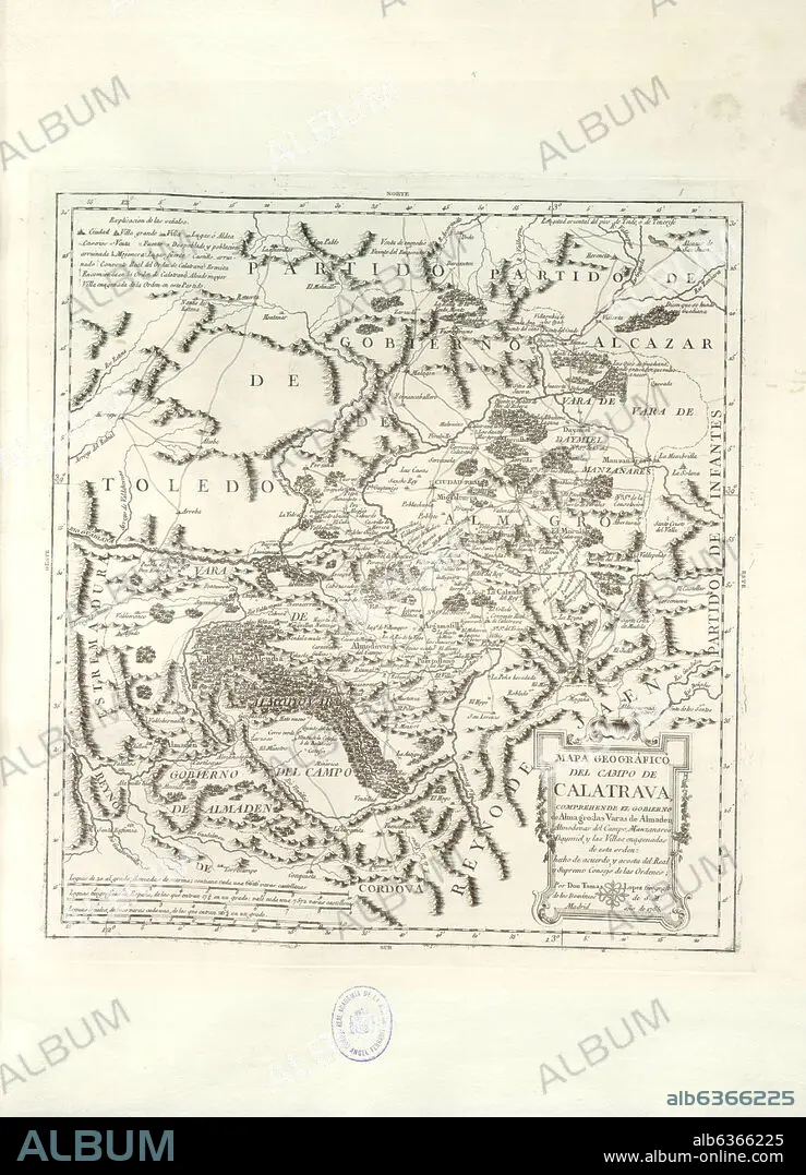
TOMÁS LÓPEZ. MAPA GEOGRAFICO DEL CAMPO DE CALATRAVA, COMPREHENDE EL GOBIERNO DE ALMAGRO, LAS VARAS DE ALMADEN, ALMODOVAR DEL CAMPO, MANZANARES, DAY
| Share |
|---|
 Pinterest Pinterest |
 Twitter Twitter |
 Facebook Facebook |
 Copy link Copy link |
 Email Email |
|
Add to another lightbox |
|
Add to another lightbox |


Buy this image.
Select the use:

Author:
Caption:
See automatic translation
MAPA GEOGRAFICO DEL CAMPO DE CALATRAVA, COMPREHENDE EL GOBIERNO DE ALMAGRO, LAS VARAS DE ALMADEN, ALMODOVAR DEL CAMPO, MANZANARES, DAY
Location:
Credit:
Album / Oronoz
Warning:
Artist Copyright must be cleared if the artist's work is not in the public domain in the country where you are licensing.
Releases:
Image size:
3115 x 4316 px | 38.5 MB
Print size:
26.4 x 36.5 cm | 10.4 x 14.4 in (300 dpi)
Keywords:
18TH CENTURY • 18TH CENTURY, THE • 18TH CENTURY. • 18TH • ACADEMIA DE LA HISTORIA-COLECCION • ALMODOVAR DEL CAMPO • CALATRAVA CROSS • CARTOGRAPHY • DESAMORTIZACION • DISENTAILMENT • ESPANA • LOPEZ TOMAS • MADRID • MAP MAKING • MAP • MAPS • ORDER OF CALATRAVA • PLAN (CARTOGRAPHY) • ROYAL ACADEMY OF HISTORY COLLECTION • ROYAL CITY • SPAIN • TOLEDO FORTRESS • XVIII CENTURY
