alb4062502
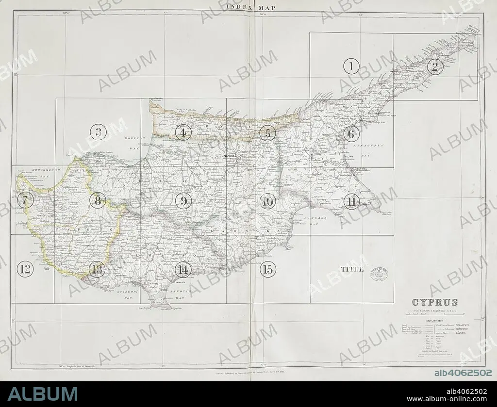
A map of Cyprus. A Trigonometrical Survey of the Island of Cyprus, executed and published ... under the direction of ... H.H. Kitchener. Hillshading by ... S.C.N. Grant, 1882. Scale of one inch to one statute mile = 1 : 63,660. London : E. Stanford, 1885. Source: Maps 20.d.9, title page. Language: English.
| Share |
|---|
 Pinterest Pinterest |
 Twitter Twitter |
 Facebook Facebook |
 Copy link Copy link |
 Email Email |
|
Add to another lightbox |
|
Add to another lightbox |


Buy this image.
Select the use:

Caption: A map of Cyprus. A Trigonometrical Survey of the Island of Cyprus, executed and published ... under the direction of ... H.H. Kitchener. Hillshading by ... S.C.N. Grant, 1882. Scale of one inch to one statute mile = 1 : 63,660. London : E. Stanford, 1885. Source: Maps 20.d.9, title page. Language: English.
Credit: Album / British Library
Releases: ? Model Release: No - ? Property Release: No
Rights questions?
Rights questions?
Image size: 5837 × 4480 px | 74.8 MB
Print size: 49.4 × 37.9 cm | 2298.0 × 1763.8 in (300 dpi)
Keywords: 19 CENTURY • 19TH CENTURY • 19TH CENTURY. • 19TH • 19TH-CENTURY • CARTE • CARTOGRAPHIC • CARTOGRAPHY • CYPRUS • MAP MAKING • MAP • MAPS • MEDITERRANEAN SEA • MEDITERRANEAN • NINETEENTH CENTURY • PLAN (CARTOGRAPHY) • XIX CENTURY
