alb4406246
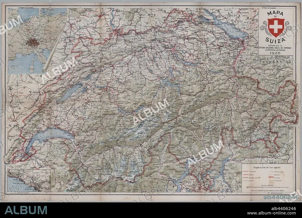
Mapa turístico de Suiza. Año 1926.
| Share |
|---|
 Pinterest Pinterest |
 Twitter Twitter |
 Facebook Facebook |
 Copy link Copy link |
 Email Email |
|
Add to another lightbox |
|
Add to another lightbox |


Caption:
Automatic translation: Tourist map of Switzerland. Year 1926
Mapa turístico de Suiza. Año 1926.
Credit:
Album / Documenta
Releases:
Model: No - Property: No
Rights questions?
Rights questions?
Image size:
6200 x 4161 px | 73.8 MB
Print size:
52.5 x 35.2 cm | 20.7 x 13.9 in (300 dpi)
Keywords:
20TH CENTURY • CAMINO • CITY • COUNTRY ROAD • GEOGRAPHY • MAP • MAPS • MOUNT • MOUNTAIN • MOUNTAINS • MOUNTAINS. • PATH • PLAN (CARTOGRAPHY) • RIVER • ROAD • ROUTE • SWITZERLAND • TOWN • TOWNS • VALLEY • WAY
