alb4198259
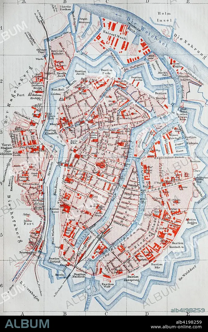
city map from the year 1892
| Share |
|---|
 Pinterest Pinterest |
 Twitter Twitter |
 Facebook Facebook |
 Copy link Copy link |
 Email Email |
|
Add to another lightbox |
|
Add to another lightbox |


Buy this image.
Select the use:

Title: city map from the year 1892
Caption: city map from the year 1892: Danzig, now Gdansk, Poland, digital improved reproduction of an original print from the year 1895
Credit: Album / Universal Images Group / Bildagentur/UIG
Releases: ? Model Release: No - ? Property Release: No
Rights questions?
Rights questions?
Image size: 2584 × 3920 px | 29.0 MB
Print size: 21.9 × 33.2 cm | 1017.3 × 1543.3 in (300 dpi)
Keywords: 4992416 • ANCIENT • ANTIQUE • AREA • CITIES • CITY MAP • CITY • CIUDAD • COMMUNISM: POLAND • DANZIG • GDANSK • MAP • MAPS • OLD • OVERVIEW • PLAN (CARTOGRAPHY) • POLAND • POLAND: COMMUNISM • POLAND: POSTWAR • POSTWAR: POLAND • PRINT • REPRO • ROAD MAP • ROAD • ROADS • RUA • STREET • STREETS • SYMBOLIC • TOWN • TOWNS • VIA • WAY
