alb4532038
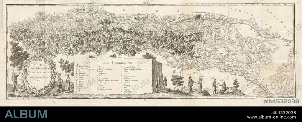
Litho-Hydrographica map ..., Hydrological Map of the Slavic States from the 18th century, signed: signed by Lieber zu Leibach A ° 1782, I. Adam Sc, Fig. 1, p. 184, Lieber (del.); Adam, I. (sculp.), 1778, Balthasar Hacquet, Johann Gottlob Immanuel: Oryctographia carniolica oder physikalische Erdbeschreibung des Herzogthums Krain, Istrien, und zum Theil der benachbarten Länder. Dritter Theil. Leipzig: bey Johann Gottlob Immanuel Breitkopf, 1778-1789.
| Share |
|---|
 Pinterest Pinterest |
 Twitter Twitter |
 Facebook Facebook |
 Copy link Copy link |
 Email Email |
|
Add to another lightbox |
|
Add to another lightbox |


Caption:
Litho-Hydrographica map ..., Hydrological Map of the Slavic States from the 18th century, signed: signed by Lieber zu Leibach A ° 1782, I. Adam Sc, Fig. 1, p. 184, Lieber (del.); Adam, I. (sculp.), 1778, Balthasar Hacquet, Johann Gottlob Immanuel: Oryctographia carniolica oder physikalische Erdbeschreibung des Herzogthums Krain, Istrien, und zum Theil der benachbarten Länder. Dritter Theil. Leipzig: bey Johann Gottlob Immanuel Breitkopf, 1778-1789
Credit:
Album / quintlox
Releases:
Model: No - Property: No
Rights questions?
Rights questions?
Image size:
11019 x 3901 px | 123.0 MB
Print size:
93.3 x 33.0 cm | 36.7 x 13.0 in (300 dpi)
Keywords:
1778 • 1778-1789 • 18TH CENTURY • 18TH CENTURY, THE • 18TH • ADAM • BALTHASAR HACQUET • BEY JOHANN GOTTLOB IMMANUEL BREITKOPF • DEL. • DRITTER THEIL • FIG. 1 • HYDROLOGICAL MAP • I. ADAM SC • I. • ISTRIEN • JOHANN GOTTLOB IMMANUEL • LEIPZIG • LIEBER ZU LEIBACH • LIEBER • LITHO-HYDROGRAPHICA MAP • ORYCTOGRAPHIA CARNIOLICA ODER PHYSIKALISCHE ERDBESCHREIBUNG DES • P. 184 • SCULP. • SIGNED • SLAVIC STATES • ZUM THEIL DER BENACHBARTEN LÄNDER • ° 1782
