alb5300131
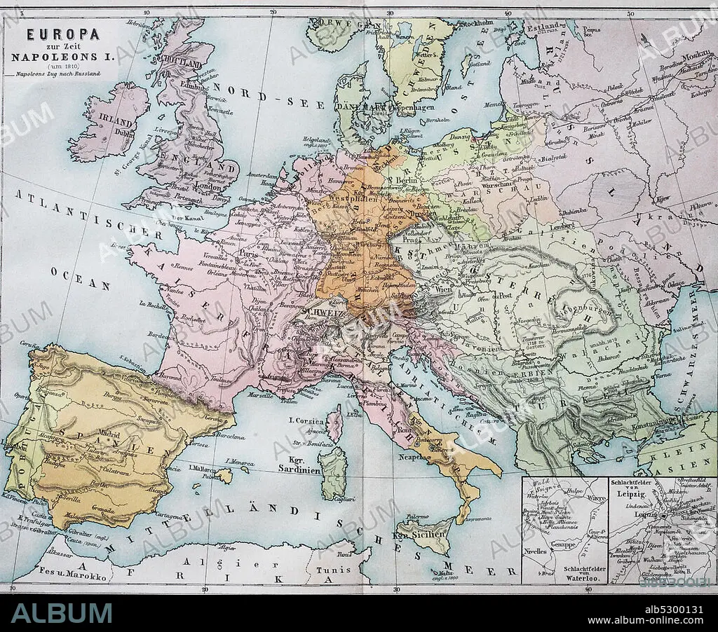
Historical map of Europe from the time of Napoleon I. / Historische Landkarte von Europa zur Zeit von Napoleon I.
| Share |
|---|
 Pinterest Pinterest |
 Twitter Twitter |
 Facebook Facebook |
 Copy link Copy link |
 Email Email |
|
Add to another lightbox |
|
Add to another lightbox |


Title:
Historical map of Europe from the time of Napoleon I. / Historische Landkarte von Europa zur Zeit von Napoleon I.
Caption:
Historical map of Europe from the time of Napoleon I. / Historische Landkarte von Europa zur Zeit von Napoleon I..
Credit:
Album / Universal Images Group / Bildagentur-online
Releases:
Model: No - Property: No
Rights questions?
Rights questions?
Image size:
3393 x 2814 px | 27.3 MB
Print size:
28.7 x 23.8 cm | 11.3 x 9.4 in (300 dpi)
Keywords:
1F-4891671 • 4891671 • ATLAS • EMBLEM • EUROPA • EUROPE • FROM • GEGENSTAENDE • GEGENSTAND • HISTORICAL • HISTORISCHE • I. • LANDKARTE • LANDKARTEN • MAP • MAPS • NAPOLEON I • NAPOLEON • OF • ORIENTIERUNG • PLAN (CARTOGRAPHY) • PRODUKTFOTO • ROAD MAP • SIMBOLOS • STRASSENKARTE • SYMBOL • SYMBOLFOTO • SYMBOLISCH • SYMBOLISCHE • SYMBOLISCHER • SYMBOLISCHES • SYMBOLS • THE • TIME • VON • ZEIT • ZUR
