alb2013709
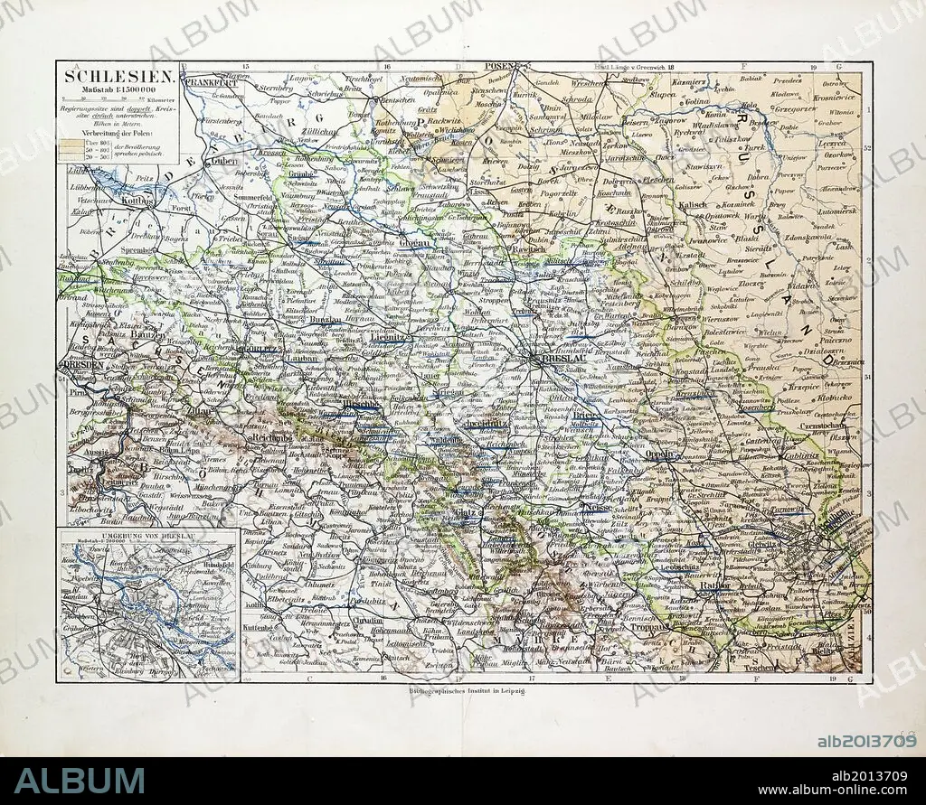
MAP OF SILESIA, POLAND, 1899.
| Share |
|---|
 Pinterest Pinterest |
 Twitter Twitter |
 Facebook Facebook |
 Copy link Copy link |
 Email Email |
|
Add to another lightbox |
|
Add to another lightbox |


Buy this image.
Select the use:

Caption:
MAP OF SILESIA, POLAND, 1899
Credit:
Album / quintlox
Releases:
Image size:
5988 x 4901 px | 84.0 MB
Print size:
50.7 x 41.5 cm | 20.0 x 16.3 in (300 dpi)
Keywords:
