alb9221020
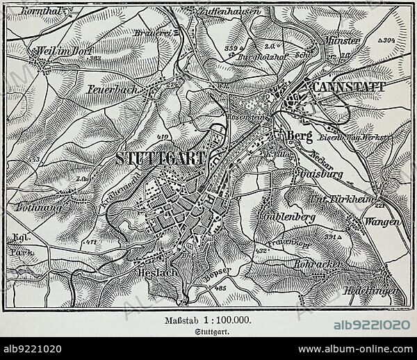
City map of Stuttgart, Baden-Württemberg, scale 1:10.000, state capital, districts, Zuffenhausen, Cannstatt, Untertürkheim, Bopser, map, cartography, railway lines, dead-end station, surrounding area, historical illustration 19th century.
| Share |
|---|
 Pinterest Pinterest |
 Twitter Twitter |
 Facebook Facebook |
 Copy link Copy link |
 Email Email |
|
Add to another lightbox |
|
Add to another lightbox |


Buy this image.
Select the use:

Caption:
City map of Stuttgart, Baden-Württemberg, scale 1:10.000, state capital, districts, Zuffenhausen, Cannstatt, Untertürkheim, Bopser, map, cartography, railway lines, dead-end station, surrounding area, historical illustration 19th century
Credit:
Album / ImageBroker / Wolfgang Diederich
Releases:
Model: No - Property: No
Rights questions?
Rights questions?
Image size:
4660 x 3765 px | 50.2 MB
Print size:
39.5 x 31.9 cm | 15.5 x 12.6 in (300 dpi)
Keywords:
19 CENTURY • 1900S • 1990S • 19TH CENTURY • 19TH CENTURY. • 19TH • 19TH-CENTURY • 90S • BADEN-WURTTEMBERG • BADEN-WÜRTTEMBERG • BUILDING • BUILDINGS • CENTRAL EUROPE • CITIES • CITY MAP • CITY MAPS • CITY • DEAD-END STATION • DESERTED • EMPTY • EUROPE'S • EUROPE • FRG • GEOGRAFIA • GEOGRAPHIC • GEOGRAPHICAL • GEOGRAPHY • GERMAN FEDERAL REPUBLIC • GERMAN • GERMANS • GERMANY • HISTORIC ILLUSTRATION • HISTORIC ILLUSTRATIONS • HISTORIC • HISTORICAL ILLUSTRATION • HISTORICAL • HISTORY • ILLUSTRATION • ILLUSTRATIONS • MAP • MAPS • MIDDLE EUROPE • MUNICIPAL • NAVIGATION • NINETEENTH CENTURY • NINETIES • NINETIES, THE • NINETY DECADE • NO ONE • NO PEOPLE • NO-ONE • NOBODY • ORIENTATION • PROVINCIAL CAPITAL • PROVINCIAL CAPITALS • RAILROAD STATION • RAILWAY STATION BUILDING • RAILWAY STATION • REPUBLIC OF GERMANY • SOUTH GERMANY • SOUTHERN GERMANY • STATE CAPITAL • STATION BUILDING • STATION • STATIONS • STRUCTURE • STUTTGART • STUTTGART-ZUFFENHAUSEN • TERMINAL STATION • TERMINAL STATIONS • TERMINUS STATION • TERMINUS • TOWN • TRAIN STATION BUILDING • TRAIN STATION BUILDINGS • TRAIN STATION • TRAIN STATIONS • UNINHABITED • UNTERTÜRKHEIM • URBAN ENVIRONMENT • URBAN • WITHOUT PEOPLE • XIX CENTURY • ZUFFENHAUSEN
