alb3201997
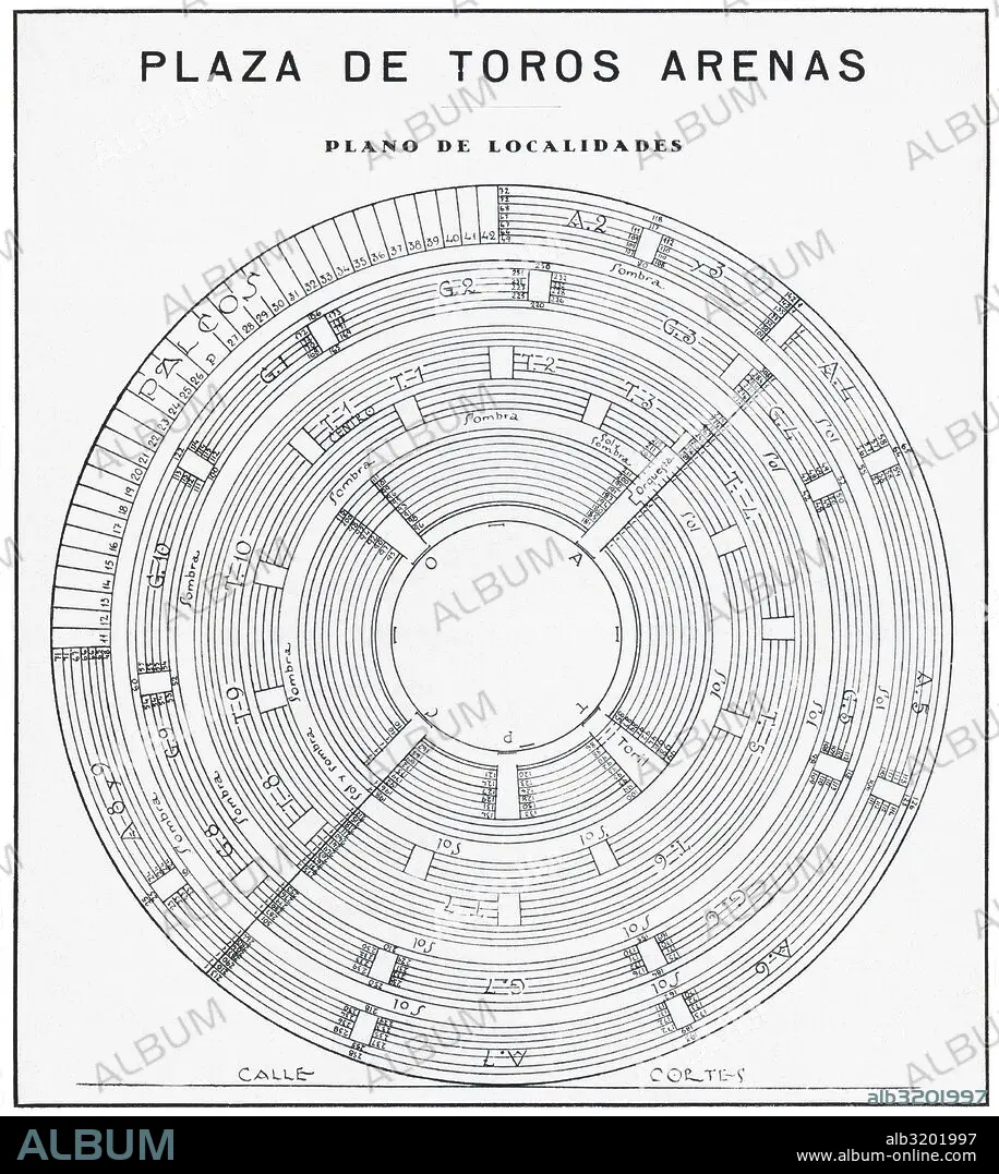
Barcelona. Plano de las localidades de la Plaza de Toros Arenas inaugurada en 1900. Dibujo de 1930.
| Share |
|---|
 Pinterest Pinterest |
 Twitter Twitter |
 Facebook Facebook |
 Copy link Copy link |
 Email Email |
|
Add to another lightbox |
|
Add to another lightbox |


Buy this image.
Select the use:

Caption:
Automatic translation: Barcelona. Map of the locations of the Arenas Bullring inaugurated in 1900. Drawing from 1930
Barcelona. Plano de las localidades de la Plaza de Toros Arenas inaugurada en 1900. Dibujo de 1930
Credit:
Album / Documenta
Releases:
Image size:
4400 x 4920 px | 61.9 MB
Print size:
37.3 x 41.7 cm | 14.7 x 16.4 in (300 dpi)
Keywords:
20TH CENTURY • ARENA • BULL (BOVINE) • BULL • CATALONIA • COSTUME SKETCH • DESIGNING • DISTRIBUTION • DRAWING • DRAWN • ESPANA • LOCATION • SKETCH • SPAIN • TOROS
