alb6151078
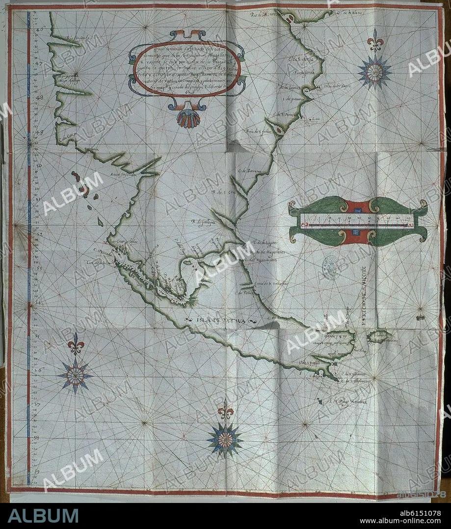
DIEGO RAMÍREZ DE ARELLANO. MAPA PLEGADO DEL ESTRECHO DE MAGALLANES - 1619
| Share |
|---|
 Pinterest Pinterest |
 Twitter Twitter |
 Facebook Facebook |
 Copy link Copy link |
 Email Email |
|
Add to another lightbox |
|
Add to another lightbox |


Buy this image.
Select the use:

Caption:
Automatic translation: FOLDED MAP OF THE STRAIT OF MAGELLAN - 1619
MAPA PLEGADO DEL ESTRECHO DE MAGALLANES - 1619
Location:
Credit:
Album / Oronoz
Releases:
Model: No - Property: No
Rights questions?
Rights questions?
Image size:
3585 x 3996 px | 41.0 MB
Print size:
30.4 x 33.8 cm | 11.9 x 13.3 in (300 dpi)
