alb3167340
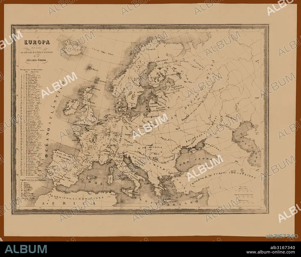
Mapa de Europa en el año 1100, con indicación de la fecha de fundación de los diferentes estados. Grabado de 1870.
| Share |
|---|
 Pinterest Pinterest |
 Twitter Twitter |
 Facebook Facebook |
 Copy link Copy link |
 Email Email |
|
Add to another lightbox |
|
Add to another lightbox |


Buy this image.
Select the use:

Caption:
Automatic translation: Map of Europe in the year 1100, with indication of the date of foundation of the different states. 1870 engraving
Mapa de Europa en el año 1100, con indicación de la fecha de fundación de los diferentes estados. Grabado de 1870.
Credit:
Album / Documenta
Releases:
Model: No - Property: No
Rights questions?
Rights questions?
Image size:
5195 x 4165 px | 61.9 MB
Print size:
44.0 x 35.3 cm | 17.3 x 13.9 in (300 dpi)
Keywords:
12TH CENTURY • ANTIQUITY • CIVILIZATION • EUROPA • EUROPE • GEOGRAPHY • HISTORIA UNIVERSAL • HISTORIA • HISTORY • MAP • MAPS • PLAN (CARTOGRAPHY)
