alb8363369
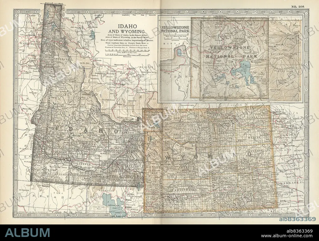
Map of Idaho and Wyoming
| Share |
|---|
 Pinterest Pinterest |
 Twitter Twitter |
 Facebook Facebook |
 Copy link Copy link |
 Email Email |
|
Add to another lightbox |
|
Add to another lightbox |


Buy this image.
Select the use:

Caption:
Map of Idaho and Wyoming
Credit:
Album / Universal Images Group / Encyclopaedia Britannica
Releases:
Model: No - Property: No
Rights questions?
Rights questions?
Image size:
4800 x 3374 px | 46.3 MB
Print size:
40.6 x 28.6 cm | 16.0 x 11.2 in (300 dpi)
Keywords:
10TH EDITION • 19 CENTURY • 1900 • 1900S • 1902 • 1990S • 19TH CENTURY • 19TH • 19TH-CENTURY • 20 XX TWENTIETH CENTURY • 20TH CENTURY • 20TH • 90S • BOUNDARIES • BOUNDARY • CARTOGRAPHY • DETAIL • EARLY 20TH CENTURY • EARLY TWENTIETH CENTURY • EEUU • EXPLORATION • FRONTIER • GARDEN • GEOGRAPHICAL • GEOGRAPHY • GREEN SPACE • HISTORIA UNIVERSAL • HISTORIA • HISTORICAL • HISTORY • HORIZONTAL • IDAHO • INSET • LIMIT • MAP MAKING • MAP • MAPS • NATIONAL PARK • NATIONAL PARKS • NINETEENTH CENTURY • NINETIES • NINETIES, THE • NINETY DECADE • NORTH AMERICA • NORTH AMERICAN • PARK • PARKS • PLAN (CARTOGRAPHY) • POLITICAL MAP • STATE MAP • STATES • TENTH EDITION • TWENTIETH CENTURY • U. S. A • UNITED STATES • USA • WEST • WESTERN STATES • WYOMING • XIX CENTURY • YELLOWSTONE LAKE • YELLOWSTONE NATIONAL PARK
