alb4062254
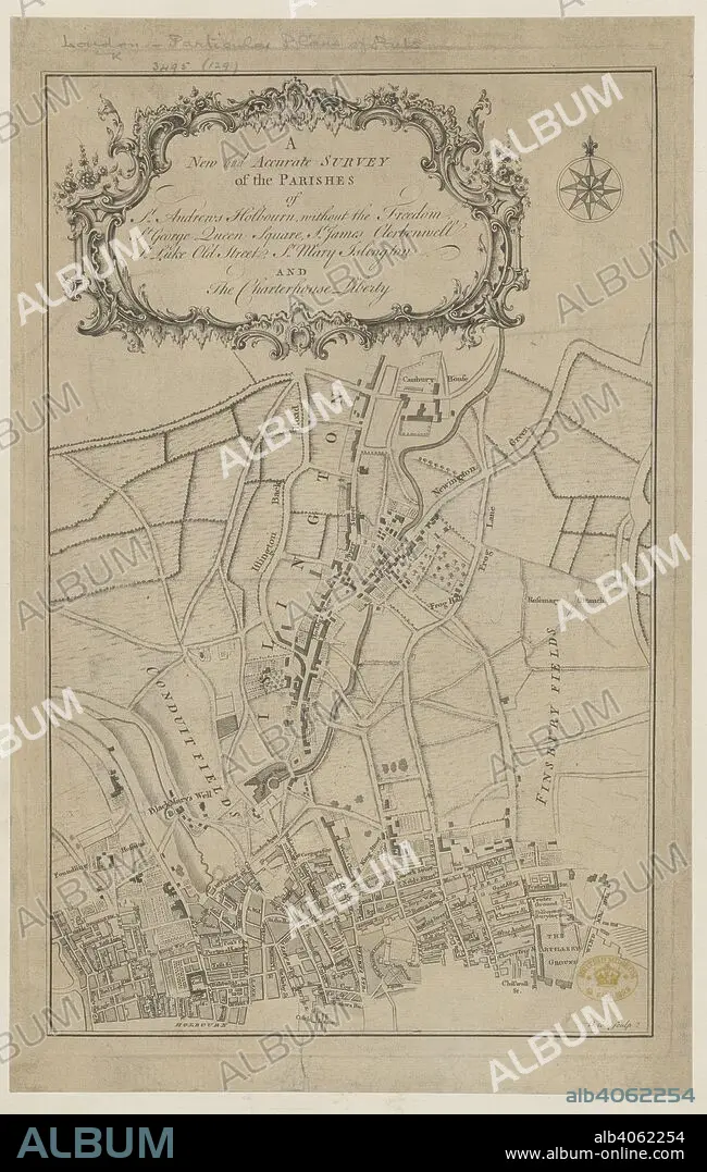
Parishes of London. A New and accurate Survey of the Parishes of St. A. 1750?. Source: Maps.*3495.(129),. Language: English.
| Share |
|---|
 Pinterest Pinterest |
 Twitter Twitter |
 Facebook Facebook |
 Copy link Copy link |
 Email Email |
|
Add to another lightbox |
|
Add to another lightbox |


Caption:
Parishes of London. A New and accurate Survey of the Parishes of St. A. 1750?. Source: Maps.*3495.(129),. Language: English.
Credit:
Album / British Library
Releases:
Model: No - Property: No
Rights questions?
Rights questions?
Image size:
5020 x 7910 px | 113.6 MB
Print size:
42.5 x 67.0 cm | 16.7 x 26.4 in (300 dpi)
Keywords:
18TH CENTURY • 18TH CENTURY, THE • 18TH • ALBION • BLACKMARY'S WELL • BRITISH ISLES • CANBURY HOUSE • CARTE • CARTOGRAPHY • CITY OF LONDON • COMPTON STREET • CONDUIT FIELDS • EUROPA • EUROPE • FINSBURY FIELDS • FROG LANE • GREAT BRITAIN • HATFIELD STREET • HOLBORN • ISLINGTON • LEATHER LANE • LONDON • MAP MAKING • MAP • MAPS • NEWINGTON GREEN • NEWINGTON • OLD STREET • PLAN (CARTOGRAPHY) • RED LION SQUARE • ROTTEN ROW • THEOBALDS ROW • WESTERN EUROPE
