alb2006141
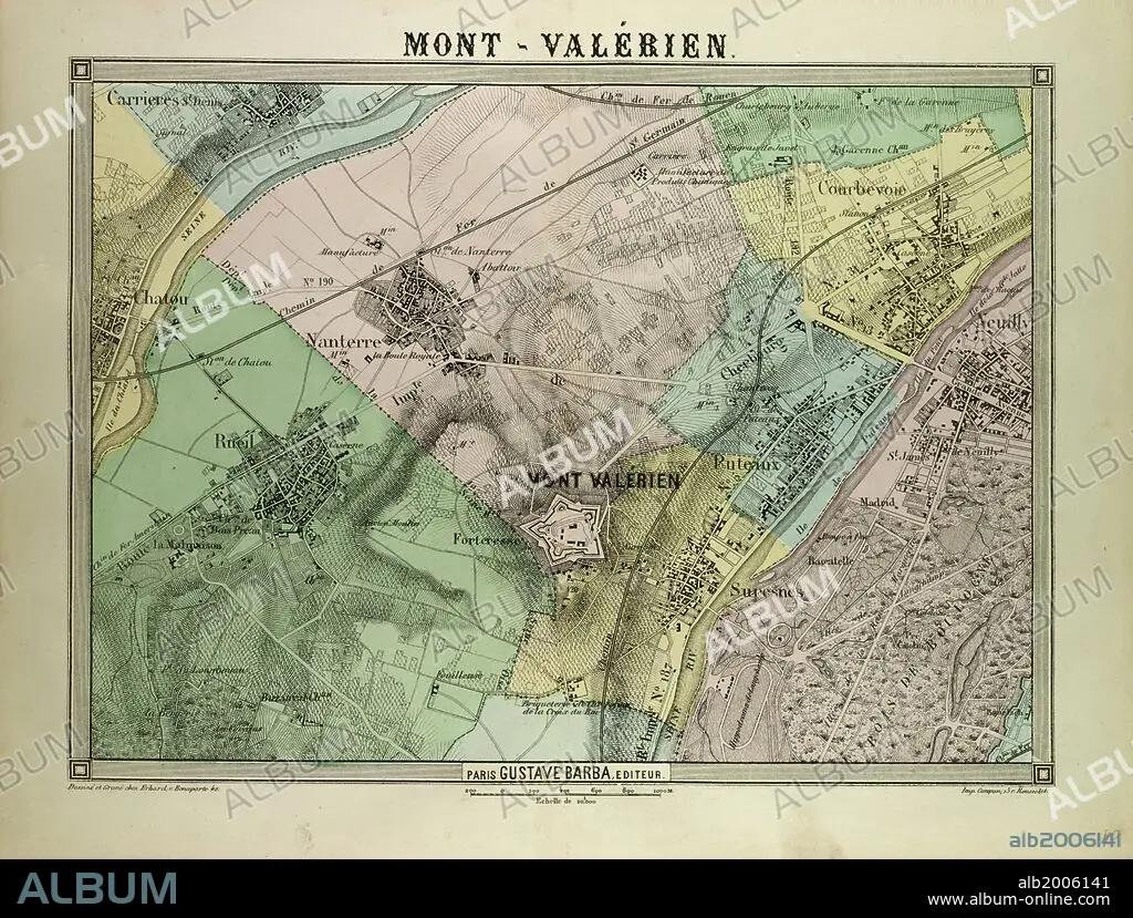
MAP OF MONT-VALÉRIEN, FRANCE.
| Share |
|---|
 Pinterest Pinterest |
 Twitter Twitter |
 Facebook Facebook |
 Copy link Copy link |
 Email Email |
|
Add to another lightbox |
|
Add to another lightbox |


Buy this image.
Select the use:

Caption:
MAP OF MONT-VALÉRIEN, FRANCE
Credit:
Album / quintlox
Releases:
Model: No - Property: No
Rights questions?
Rights questions?
Image size:
6166 x 4672 px | 82.4 MB
Print size:
52.2 x 39.6 cm | 20.6 x 15.6 in (300 dpi)
Keywords:
FRANCE • FRANCE. • LA FRANCE • MAP • MAPS • MONT-VALÉRIEN • NINETEENTH CENTURY MAP • PLAN (CARTOGRAPHY)
