alb5369348
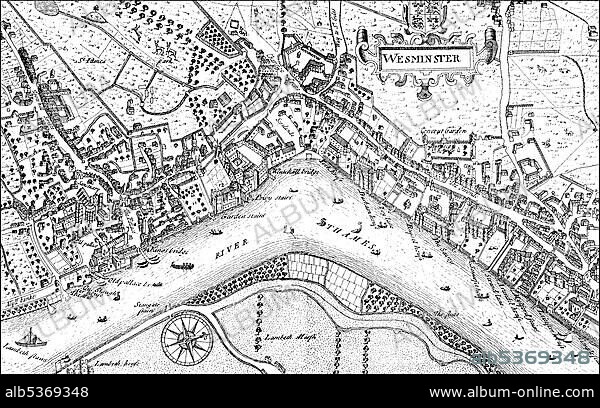
Historic drawing, city map of Westminster with the River Thames, 17th century, a district of London, England, Europe
| Share |
|---|
 Pinterest Pinterest |
 Twitter Twitter |
 Facebook Facebook |
 Copy link Copy link |
 Email Email |
|
Add to another lightbox |
|
Add to another lightbox |


Buy this image.
Select the use:

Caption:
Historic drawing, city map of Westminster with the River Thames, 17th century, a district of London, England, Europe
Credit:
Album / ImageBroker / H.-D. Falkenstein
Releases:
Image size:
5300 x 3309 px | 50.2 MB
Print size:
44.9 x 28.0 cm | 17.7 x 11.0 in (300 dpi)
Keywords:
1600S, THE • 17TH CENTURY • AGE • ÂGÉS • BLACK AND WHITE • BLACK-AND-WHITE • BLACK-WHITE • BRITISH • CADRE • CITY MAP • CITY MAPS • CITY OF LONDON • CITY OF WESTMINSTER • DEPICTION • DEPICTIONS • DRAWING • DRAWINGS • ENGLAND • ENGLISH • EUROPE • EUROPEA • EUROPEAN • EUROPEANS • GREAT BRITAIN • HISTORIC • HISTORICAL • HISTORY • IMAGE MOTIF • IMAGES • IN PAINTINGS • INTERIORS: IN PAINTINGS • MUNICIPAL DISTRICT • OLD AGE • OLD • PAINTING (ACTIVITY) • PAINTING • PAINTINGS • PICTURE • PICTURES • PRECINCT • RIVER THAMES • SEVENTEENTH CENTURY • SKETCH • THAMES RIVER • THAMES • UK • UNITED KINGDOM • URBAN DISTRICT • WESTMINSTER
