alb9235707
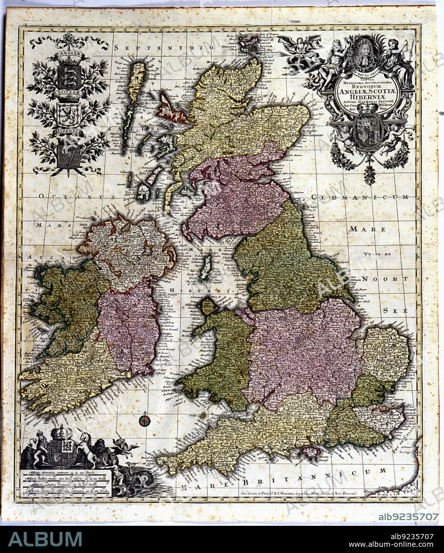
Coloured map of England, Ireland and Scotland, 1780. Creator: Seutter, Georg Matthew (1678-1757).
| Share |
|---|
 Pinterest Pinterest |
 Twitter Twitter |
 Facebook Facebook |
 Copy link Copy link |
 Email Email |
|
Add to another lightbox |
|
Add to another lightbox |


Title:
Coloured map of England, Ireland and Scotland, 1780. Creator: Seutter, Georg Matthew (1678-1757).
Caption:
Coloured map of England, Ireland and Scotland. Edited in 1780.
Credit:
Album / Arxiu Delstres - Index/Heritage Images
Releases:
Model: No - Property: No
Rights questions?
Rights questions?
Image size:
4797 x 5669 px | 77.8 MB
Print size:
40.6 x 48.0 cm | 16.0 x 18.9 in (300 dpi)
Keywords:
1780 • 18TH CENTURY • 18TH CENTURY, THE • 18TH • ANIMAL • BRETAGNE • BRITTANY • COLOR • COLORED • COLOUR • EDITED • EIRE • ENGLAND • FANTASTIC • FLYING HORSE • GEORG MATTHEW (1678-1757) • GEORG • HORSE, FLYING • INDEX FOTOTECA • IRELAND • LADY WITH THE UNICORN • MADE • MAP • MAPS • MATTHEW • MYTHOL. ANIMAL: PEGASUS • MYTHOL. ANIMAL: UNICORN • PEGASO • PEGASUS • PEGASUS, FABULOUS HORSE • PORTULANS • PRIVATE COLLECTION • SCOTLAND • SEUTTER • UNICORN • UNICORN, MYTHOL. ANIMAL • XVIII CENTURY
