alb2256928
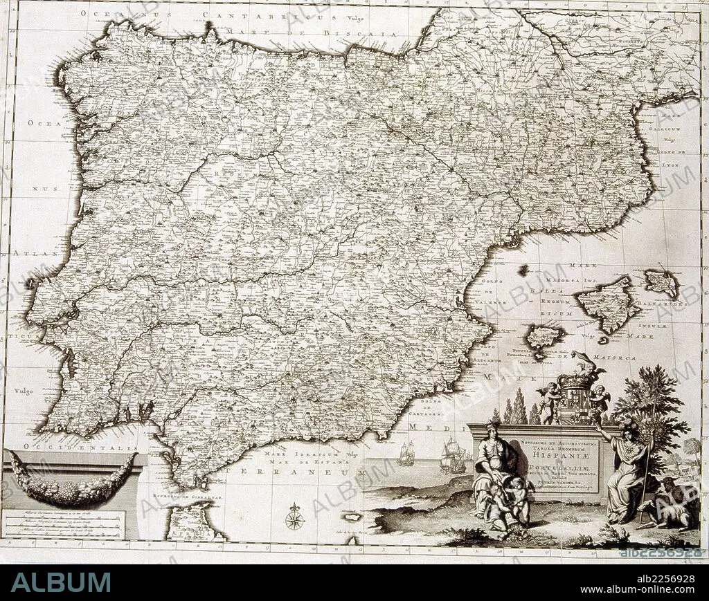
CARTOGRAFIA. MAPA DE ESPAÑA Y PORTUGAL. REALIZADO POR PIETER VAN DER AA. LEIDEN 1700-1729.
| Share |
|---|
 Pinterest Pinterest |
 Twitter Twitter |
 Facebook Facebook |
 Copy link Copy link |
 Email Email |
|
Add to another lightbox |
|
Add to another lightbox |


Buy this image.
Select the use:

Caption:
Automatic translation: MAPPING. MAP OF SPAIN AND PORTUGAL. MADE BY PIETER VAN DER AA. LEIDEN 1700-1729
CARTOGRAFIA. MAPA DE ESPAÑA Y PORTUGAL. REALIZADO POR PIETER VAN DER AA. LEIDEN 1700-1729
Location:
SPAIN
Credit:
Album / sfgp
Releases:
Image size:
3701 x 2951 px | 31.2 MB
Print size:
31.3 x 25.0 cm | 12.3 x 9.8 in (300 dpi)
Keywords:
18TH CENTURY • 18TH CENTURY, THE • 18TH CENTURY. • 18TH • MAP • MAPS • PLAN (CARTOGRAPHY) • SPAIN • XVIII CENTURY
