alb5271332
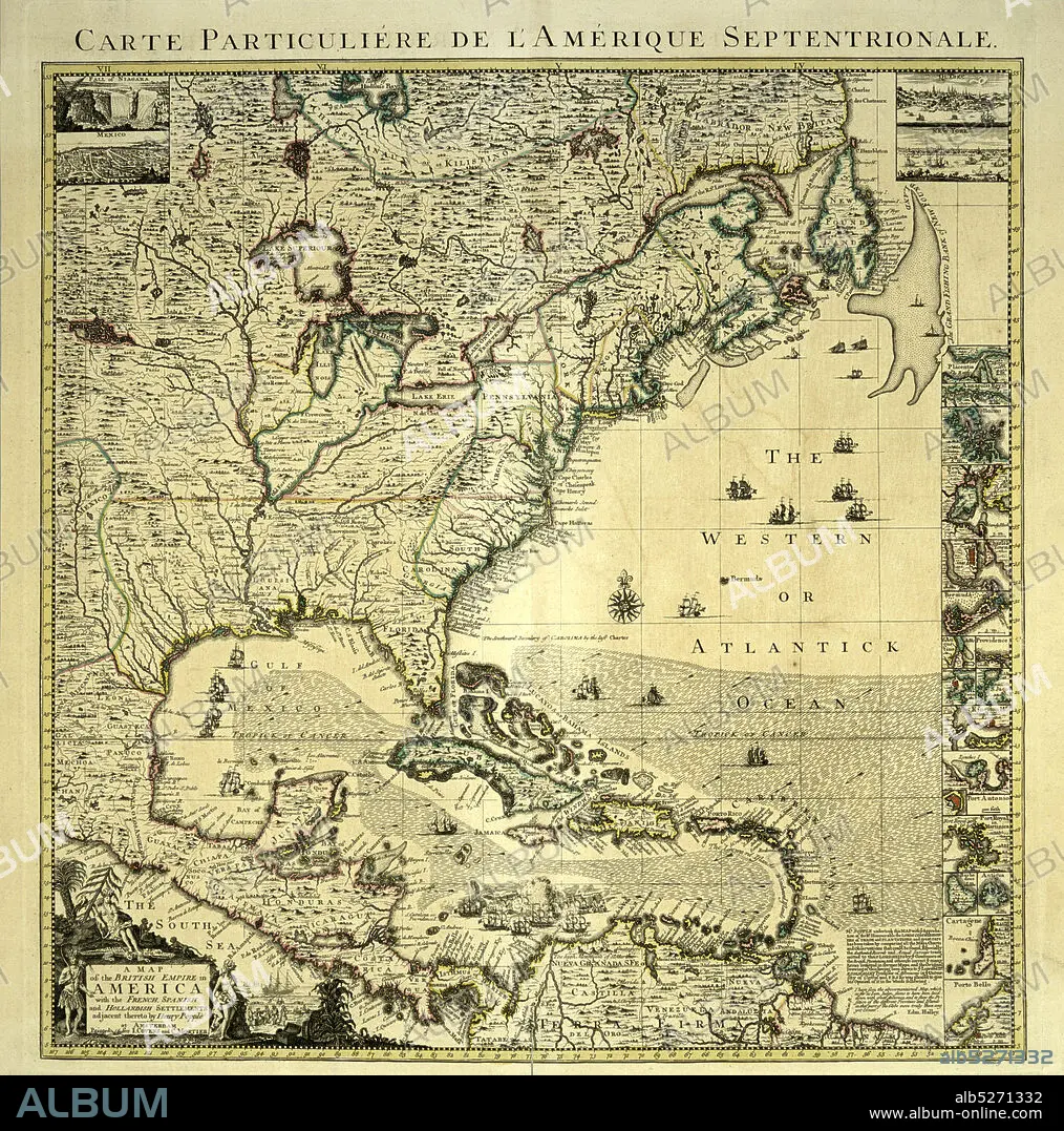
A map of the British Empire in America , cartographic, Maps, 1750, Popple, Henry, d. 1743, Condet, Johannes, 1711-1781.
| Share |
|---|
 Pinterest Pinterest |
 Twitter Twitter |
 Facebook Facebook |
 Copy link Copy link |
 Email Email |
|
Add to another lightbox |
|
Add to another lightbox |


Buy this image.
Select the use:

Caption:
A map of the British Empire in America , cartographic, Maps, 1750, Popple, Henry, d. 1743, Condet, Johannes, 1711-1781
Credit:
Album / quintlox
Releases:
Model: No - Property: No
Rights questions?
Rights questions?
Image size:
3813 x 3851 px | 42.0 MB
Print size:
32.3 x 32.6 cm | 12.7 x 12.8 in (300 dpi)
Keywords:
1711-1781 • 1750 • AMERICA • AMERICAS • BRITISH EMPIRE • CARTOGRAPHIC • CONDET • D. 1743 • HENRY • JOHANNES • MAP • MAPS • PLAN (CARTOGRAPHY) • POPPLE
