alb4067753
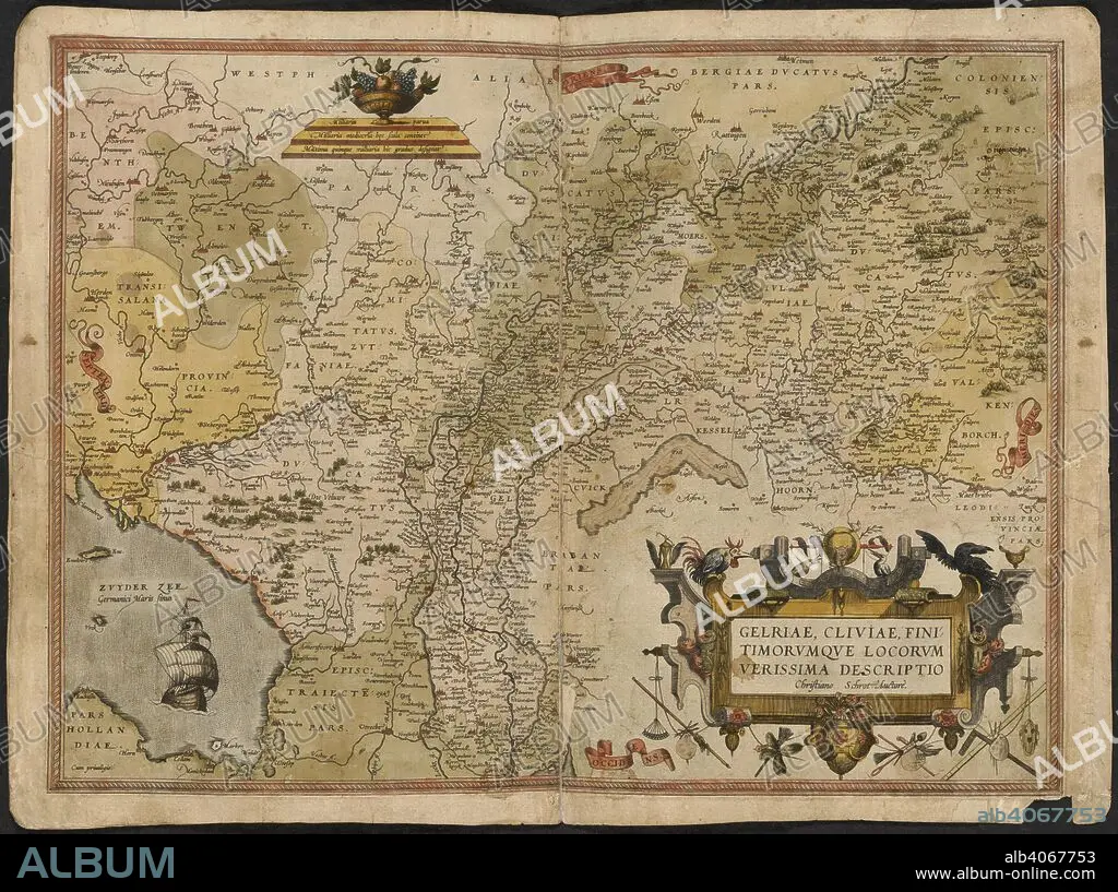
GERARDUS MERCATOR. Map of Gelderland and Cleves. The Mercator atlas of Europe. 1570-1572. Gelriae, Cliviae, fini timorumque locorum, verissima descriptio. Image taken from The Mercator atlas of Europe. Originally published/produced in 1570-1572. . Source: Maps.C.29.c.13, 17.
| Share |
|---|
 Pinterest Pinterest |
 Twitter Twitter |
 Facebook Facebook |
 Copy link Copy link |
 Email Email |
|
Add to another lightbox |
|
Add to another lightbox |


Buy this image.
Select the use:

Author: Gerardus Mercator (1512-1594)
Caption: Map of Gelderland and Cleves. The Mercator atlas of Europe. 1570-1572. Gelriae, Cliviae, fini timorumque locorum, verissima descriptio. Image taken from The Mercator atlas of Europe. Originally published/produced in 1570-1572. . Source: Maps.C.29.c.13, 17.
Credit: Album / British Library
Image size: 6100 × 4549 px | 79.4 MB
Print size: 51.6 × 38.5 cm | 2401.6 × 1790.9 in (300 dpi)
Keywords: CLEVES • DUCHY OF CLEVES • EUROPA • EUROPE • GELDERLAND • HOLLAND • MAP • MAPS • MERCATOR, GERHARD • NETHERLANDS • PLAN (CARTOGRAPHY) • SGROOTEN CHRISTIAN • WESTERN EUROPE
