alb4720609
GRANDE BRETAGNE
| Share |
|---|
 Pinterest Pinterest |
 Twitter Twitter |
 Facebook Facebook |
 Copy link Copy link |
 Email Email |
|
Add to another lightbox |
|
Add to another lightbox |


Buy this image.
Select the use:

Title:
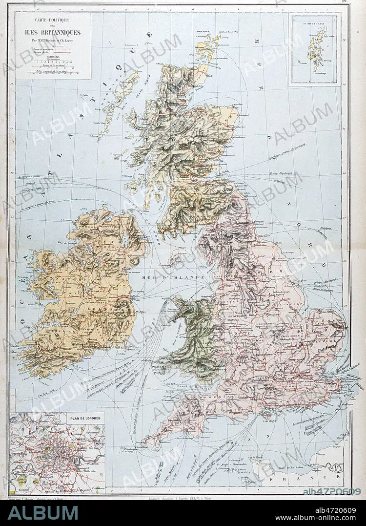
GRANDE BRETAGNE
Caption:
See automatic translation
'Carte geographique du Royaume Uni d'Angleterre et d'Irlande' tiree du Nouvel Atlas de geographie par CORTAMBERT, fin 19eme. Credit : Collection Jonas/KHARBINE-TAPABOR.
Credit:
Album / Coll. Jonas/KHARBINE-TAPABOR
Releases:
Model: No - Property: No
Rights questions?
Rights questions?
Image size:
2263 x 3090 px | 20.0 MB
Print size:
19.2 x 26.2 cm | 7.5 x 10.3 in (300 dpi)
Keywords:
BRITAIN • EIRE • ENGLAND'S • ENGLAND • GREAT BRITAIN • GREAT-BRITAIN • IRELAND • MAP • MAPS • PLAN (CARTOGRAPHY) • U. K. • UNITED KINGDOM
