alb5392598
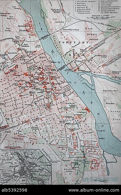
City map of Warsaw, from 1885, historical illustration, Poland, Europe.
| Share |
|---|
 Pinterest Pinterest |
 Twitter Twitter |
 Facebook Facebook |
 Copy link Copy link |
 Email Email |
|
Add to another lightbox |
|
Add to another lightbox |


Buy this image.
Select the use:

Caption:
City map of Warsaw, from 1885, historical illustration, Poland, Europe
Personalities:
Credit:
Album / ImageBroker / BAO
Releases:
Model: No - Property: No
Rights questions?
Rights questions?
Image size:
394 x 600 px | 692.6 KB
Print size:
3.3 x 5.1 cm | 1.3 x 2.0 in (300 dpi)
Keywords:
19TH CENTURY • BACKGROUND GRAPHIC • BACKGROUND IMAGE • BACKGROUND • BACKGROUNDS • CAPITAL CITY • CAPITAL • CAPITALS • CARD • CARDBOARD • CARDS • CHARTS • CITY MAP • CITY MAPS • EAST EUROPE • EAST EUROPEAN • EASTERN EUROPE • EASTERN EUROPEAN • EUROPE • FULL FRAME • FULL-FRAME • GEOGRAPHIC • GEOGRAPHICAL • GEOGRAPHY • HISTORIC • HISTORICAL • HISTORY • ILLUSTRATION • ILLUSTRATIONS • MAP • MAPS • MASOVIAN VOIVODESHIP • NINETEENTH CENTURY • NO ONE • NO PEOPLE • NO-ONE • NOBODY • PLAN • PLANS • POLAND • POLE • POLISH • POLSKA • PUNT • SYMBOL IMAGE • SYMBOL • SYMBOLIC IMAGE • SYMBOLIC PICTURE • SYMBOLIC PICTURES • SYMBOLIC • SYMBOLIC_PICTURE • SYMBOLS • VINTAGE • WARSAW • WARSZAWA • WITHOUT PEOPLE • YEAR • YEARS
