alb4953771
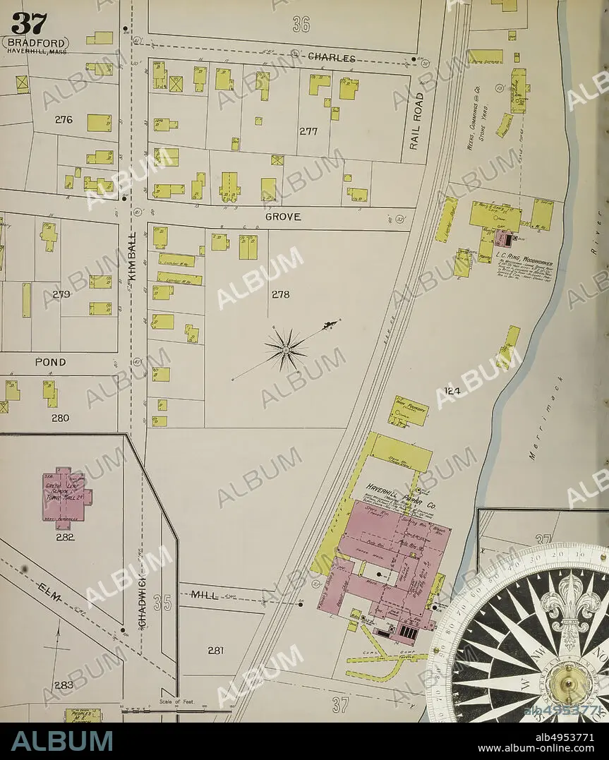
Image 40 of Sanborn Fire Insurance Map from Haverhill, Essex County, Massachusetts. 1893. 47 Sheet(s). Includes Bradford, Georgetown, Groveland. 2 skeleton maps. Bound, America, street map with a Nineteenth Century compass.
| Compartir |
|---|
 Pinterest Pinterest |
 Twitter Twitter |
 Facebook Facebook |
 Copiar enlace Copiar enlace |
 Email Email |
|
Añadir a otro lightbox |
|
Añadir a otro lightbox |


¿Ya tienes cuenta? Iniciar sesión
¿No tienes cuenta? Regístrate
Compra esta imagen

Descripción:
Ver traducción automática
Image 40 of Sanborn Fire Insurance Map from Haverhill, Essex County, Massachusetts. 1893. 47 Sheet(s). Includes Bradford, Georgetown, Groveland. 2 skeleton maps. Bound, America, street map with a Nineteenth Century compass
Crédito:
Album / quintlox
Autorizaciones:
Modelo: No - Propiedad: No
¿Preguntas relacionadas con los derechos?
¿Preguntas relacionadas con los derechos?
Tamaño imagen:
5000 x 5933 px | 84.9 MB
Tamaño impresión:
42.3 x 50.2 cm | 16.7 x 19.8 in (300 dpi)
Palabras clave:
1893 • AL AIRE LIBRE • AMERICA • ATLAS • CALLE • CARTOGRAFIA • CIUDAD • EDAD • ESTADOS UNIDOS • GEOGRAFIA • MASSACHUSETTS • OBLIGADOS • OUTSIDE • POR CARRETERA • PUNTO DE REFERENCIA • URBANO • VIAJE • VINTAGE
