alb4067954
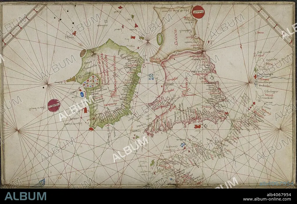
GRAZIOSO BENINCASA. Chart of the coasts of western Europe, from the British Isles to Portugal. Portolano. Italy; 1469. Source: Add. 31315, ff.4v-5. Language: Italian.
| Compartir |
|---|
 Pinterest Pinterest |
 Twitter Twitter |
 Facebook Facebook |
 Copiar enlace Copiar enlace |
 Email Email |
|
Añadir a otro lightbox |
|
Añadir a otro lightbox |


¿Ya tienes cuenta? Iniciar sesión
¿No tienes cuenta? Regístrate
Compra esta imagen.
Selecciona el uso:

Autor:
Descripción:
Ver traducción automática
Chart of the coasts of western Europe, from the British Isles to Portugal. Portolano. Italy; 1469. Source: Add. 31315, ff.4v-5. Language: Italian.
Crédito:
Album / British Library
Autorizaciones:
Tamaño imagen:
6616 x 4190 px | 79.3 MB
Tamaño impresión:
56.0 x 35.5 cm | 22.1 x 14.0 in (300 dpi)
Palabras clave:
CARTOGRAFIA • CARTOGRAFICO • COSTA • EUROPA OCCIDENTAL • EUROPA • GRAFICO • GRAN BRETAÑA • GRAZIOSO BENINCASA • INGLATERRA • ISLAS BRITANICAS • LITORAL • REINO UNIDO • S. XV • SIGLO XV
