alb3547383
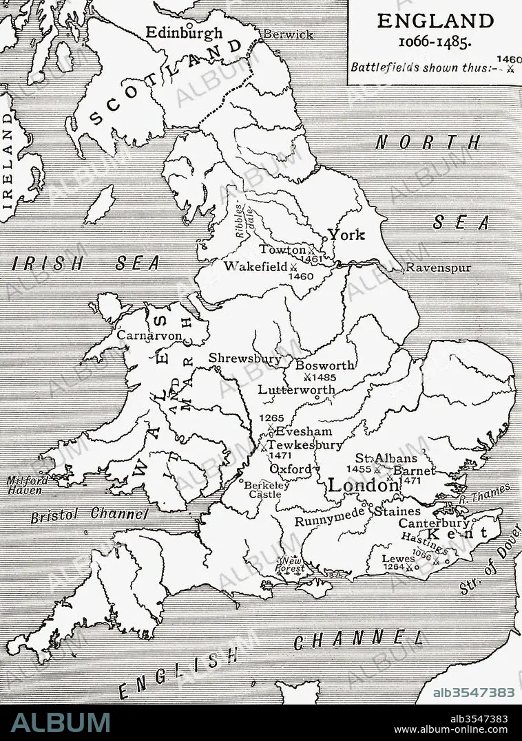
A map of England 1066-1485, battlefields marked with crossed swords
| Compartir |
|---|
 Pinterest Pinterest |
 Twitter Twitter |
 Facebook Facebook |
 Copiar enlace Copiar enlace |
 Email Email |
|
Añadir a otro lightbox |
|
Añadir a otro lightbox |


¿Ya tienes cuenta? Iniciar sesión
¿No tienes cuenta? Regístrate
Compra esta imagen

Título:
A map of England 1066-1485, battlefields marked with crossed swords
Descripción:
Ver traducción automática
A map of England 1066 - 1485, battlefields marked with crossed swords. From A First Book of British History published 1925.
Crédito:
Album / Universal Images Group / Universal History Archive
Autorizaciones:
Modelo: No - Propiedad: No
¿Preguntas relacionadas con los derechos?
¿Preguntas relacionadas con los derechos?
Tamaño imagen:
3602 x 4863 px | 50.1 MB
Tamaño impresión:
30.5 x 41.2 cm | 12.0 x 16.2 in (300 dpi)
Palabras clave:
BATALLAS • EDAD MEDIA • EDAD • EPOCA • ESPADAS • GEOGRAFIA • GRAN BRETAÑA • HISTORIA • HISTORICO • INGLATERRA • MAPA • MEDIA • MEDIEVAL • MIDDLE • PAÍS
