alb4512613
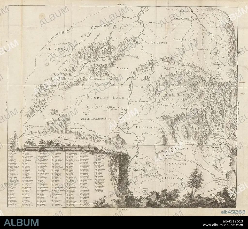
Map of Eastern Switzerland, Map of Grisons, Uri, Glarus, Appenzell, Zurich with inscription of the mountains, etching, plate 15, after S. IX (part 2), 1760, Gottlieb Sigmund Gruner: Die Eisgebirge des Schweizerlandes. Bern: Abraham Wagner, Sohn. 1760.
| Compartir |
|---|
 Pinterest Pinterest |
 Twitter Twitter |
 Facebook Facebook |
 Copiar enlace Copiar enlace |
 Email Email |
|
Añadir a otro lightbox |
|
Añadir a otro lightbox |


¿Ya tienes cuenta? Iniciar sesión
¿No tienes cuenta? Regístrate
Compra esta imagen.
Selecciona el uso:

Descripción:
Ver traducción automática
Map of Eastern Switzerland, Map of Grisons, Uri, Glarus, Appenzell, Zurich with inscription of the mountains, etching, plate 15, after S. IX (part 2), 1760, Gottlieb Sigmund Gruner: Die Eisgebirge des Schweizerlandes. Bern: Abraham Wagner, Sohn. 1760.
Crédito:
Album / quintlox
Autorizaciones:
Tamaño imagen:
5778 x 5045 px | 83.4 MB
Tamaño impresión:
48.9 x 42.7 cm | 19.3 x 16.8 in (300 dpi)
Palabras clave:
