alb15431405
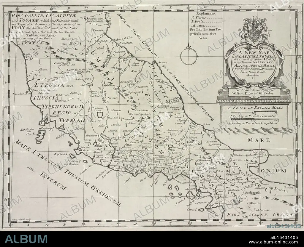
A new map of Latium, Etruria, and as much of ancient Itally, as lay between Gallia Cisalpina and Græcia Magna, shewing their principal divisions, cities, towns, rivers, mountains &c., 1700, Sheldonian Theatre, Additional title: Latium, and Etruria., Date Issued: 1700, Place: Oxford :, Publisher: Printed at theTheater, Atlases, British, Geography, Ancient, Maps in education, England, Maps, Ancient lands unfold, Cities rise amidst the hills, History's terrain.
| Compartir |
|---|
 Pinterest Pinterest |
 Twitter Twitter |
 Facebook Facebook |
 Copiar enlace Copiar enlace |
 Email Email |
|
Añadir a otro lightbox |
|
Añadir a otro lightbox |


¿Ya tienes cuenta? Iniciar sesión
¿No tienes cuenta? Regístrate
Compra esta imagen.
Selecciona el uso:

Descripción:
Ver traducción automática
A new map of Latium, Etruria, and as much of ancient Itally, as lay between Gallia Cisalpina and Græcia Magna, shewing their principal divisions, cities, towns, rivers, mountains &c., 1700, Sheldonian Theatre, Additional title: Latium, and Etruria., Date Issued: 1700, Place: Oxford :, Publisher: Printed at theTheater, Atlases, British, Geography, Ancient, Maps in education, England, Maps, Ancient lands unfold, Cities rise amidst the hills, History's terrain.
Crédito:
Album / quintlox
Autorizaciones:
Modelo: No - Propiedad: No
¿Preguntas relacionadas con los derechos?
¿Preguntas relacionadas con los derechos?
Tamaño imagen:
4794 x 3656 px | 50.1 MB
Tamaño impresión:
40.6 x 31.0 cm | 16.0 x 12.2 in (300 dpi)
Palabras clave:
