alb4184159
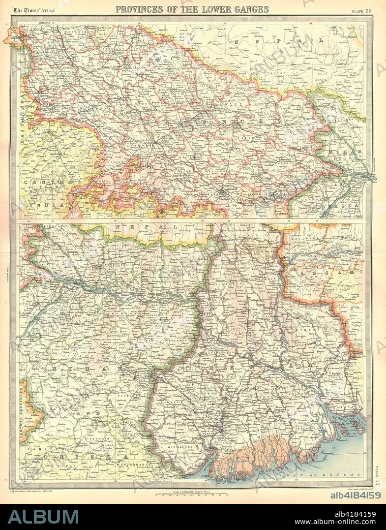
Map of the Provinces of the Lower Ganges. Artist: Unknown.
| Compartir |
|---|
 Pinterest Pinterest |
 Twitter Twitter |
 Facebook Facebook |
 Copiar enlace Copiar enlace |
 Email Email |
|
Añadir a otro lightbox |
|
Añadir a otro lightbox |


¿Ya tienes cuenta? Iniciar sesión
¿No tienes cuenta? Regístrate
Compra esta imagen.
Selecciona el uso:

Título:
Map of the Provinces of the Lower Ganges. Artist: Unknown.
Descripción:
Ver traducción automática
Map of the Provinces of the Lower Ganges. Map in two sections, showing Indian states through which the River Ganges flows, and the Ganges Delta in what is now Bangladesh. Plate 59 from The Times Atlas.
Crédito:
Album / Heritage Images / The Print Collector
Autorizaciones:
Modelo: No - Propiedad: No
¿Preguntas relacionadas con los derechos?
¿Preguntas relacionadas con los derechos?
Tamaño imagen:
3550 x 4632 px | 47.0 MB
Tamaño impresión:
30.1 x 39.2 cm | 11.8 x 15.4 in (300 dpi)
Palabras clave:
ASIA • BANGLADESH • CARTOGRAFIA • COLOR • COLORIDO • GANGES • GEOGRAFIA • INDIA • MAPA • RIO GANGES • RIO
