alb1513461
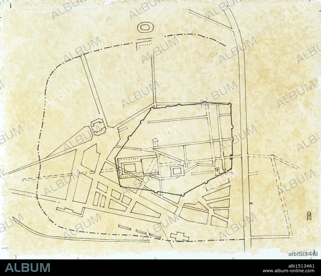
Cartography - Roman civilization. Map of Narbo Martius in the Roman province of Gallia Transalpina (now Narbonne, France). Drawing.
| Compartir |
|---|
 Pinterest Pinterest |
 Twitter Twitter |
 Facebook Facebook |
 Copiar enlace Copiar enlace |
 Email Email |
|
Añadir a otro lightbox |
|
Añadir a otro lightbox |


¿Ya tienes cuenta? Iniciar sesión
¿No tienes cuenta? Regístrate
Compra esta imagen

Descripción:
Ver traducción automática
Cartography - Roman civilization. Map of Narbo Martius in the Roman province of Gallia Transalpina (now Narbonne, France). Drawing.
Crédito:
Album / DEA PICTURE LIBRARY
Autorizaciones:
Modelo: No - Propiedad: No
¿Preguntas relacionadas con los derechos?
¿Preguntas relacionadas con los derechos?
Tamaño imagen:
4646 x 3758 px | 50.0 MB
Tamaño impresión:
39.3 x 31.8 cm | 15.5 x 12.5 in (300 dpi)
Palabras clave:
ANTIGUA ROMA • ARTE EN GENERAL • CARTOGRAFIA • CIVILIZACION ANTIGUA • CUERPO ENTERO • FONDO DE COLOR • FRANCES • FRANCIA • GALLIA TRANSALPINA • HISTORIA • HORIZONTAL • HORIZONTALES • NARBO MARTIUS • NARBONA • PASADO, EL • PLAN DE • ROMA ANTIGUA • SIN GENTE • VISTA AÉREA
