alb1960835
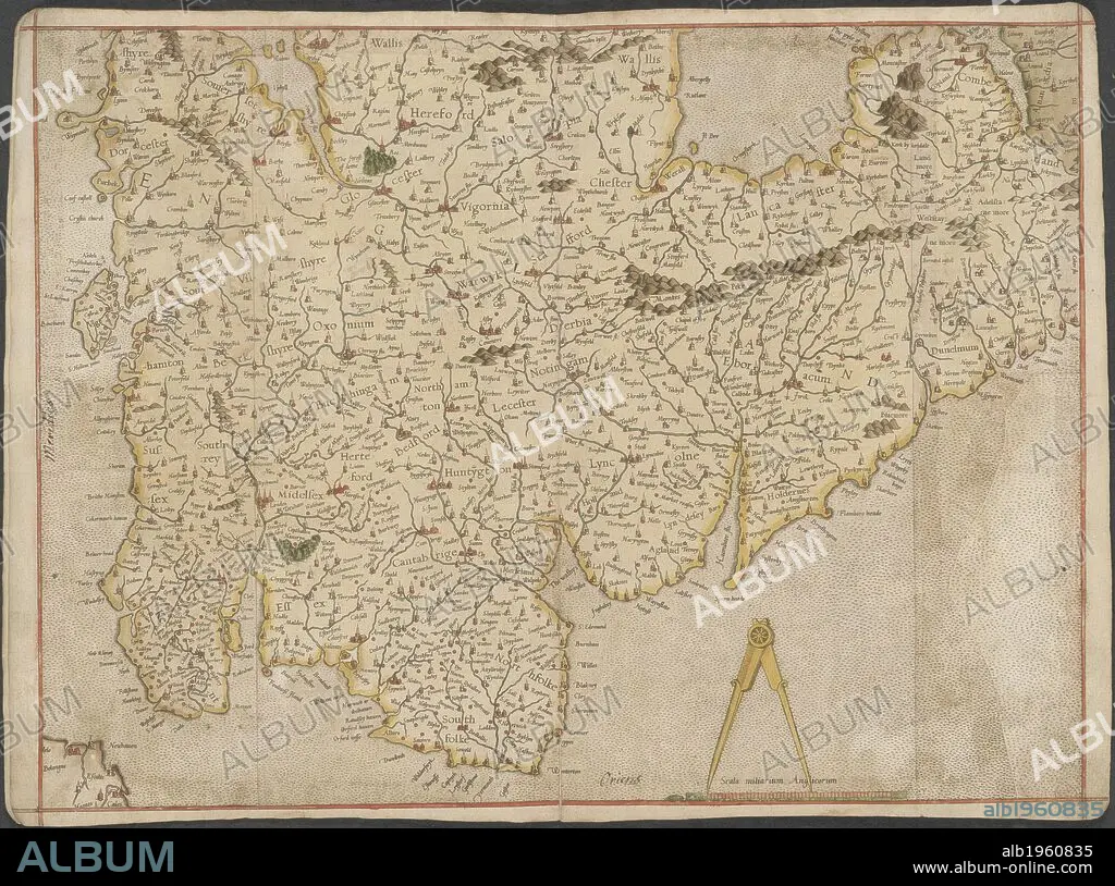
England. The Mercator atlas of Europe. 1570-1572. Map of England. Image taken from The Mercator atlas of Europe. Originally published/produced in 1570-1572. . Source: Maps.C.29.c.13.
| Compartir |
|---|
 Pinterest Pinterest |
 Twitter Twitter |
 Facebook Facebook |
 Copiar enlace Copiar enlace |
 Email Email |
|
Añadir a otro lightbox |
|
Añadir a otro lightbox |


¿Ya tienes cuenta? Iniciar sesión
¿No tienes cuenta? Regístrate
Compra esta imagen.
Selecciona el uso:

Descripción:
Ver traducción automática
England. The Mercator atlas of Europe. 1570-1572. Map of England. Image taken from The Mercator atlas of Europe. Originally published/produced in 1570-1572. . Source: Maps.C.29.c.13.
Crédito:
Album / British Library
Autorizaciones:
Modelo: No - Propiedad: No
¿Preguntas relacionadas con los derechos?
¿Preguntas relacionadas con los derechos?
Tamaño imagen:
9509 x 7064 px | 192.2 MB
Tamaño impresión:
80.5 x 59.8 cm | 31.7 x 23.5 in (300 dpi)
Palabras clave:
