alb9832885
Palaestina quce et chanaan et terra Promissionis vel terra sancta. Palestine which is also Canaan and the Land of Promise or the Holy Land. 1798 map by cartographer William Faden, engraved by Hatchett. Faden was the royal geographer to King George III. This map comes from his Atlas minimus universalis which was designed mainly for use in schools.
| Compartir |
|---|
 Pinterest Pinterest |
 Twitter Twitter |
 Facebook Facebook |
 Copiar enlace Copiar enlace |
 Email Email |
|
Añadir a otro lightbox |
|
Añadir a otro lightbox |


¿Ya tienes cuenta? Iniciar sesión
¿No tienes cuenta? Regístrate
Compra esta imagen.
Selecciona el uso:

Descripción:
Ver traducción automática
Palaestina quce et chanaan et terra Promissionis vel terra sancta. Palestine which is also Canaan and the Land of Promise or the Holy Land. 1798 map by cartographer William Faden, engraved by Hatchett. Faden was the royal geographer to King George III. This map comes from his Atlas minimus universalis which was designed mainly for use in schools.
Crédito:
Album / Ken Welsh/Universal History Archive/Universal Images Group
Autorizaciones:
Modelo: No - Propiedad: No
¿Preguntas relacionadas con los derechos?
¿Preguntas relacionadas con los derechos?
Tamaño imagen:
5324 x 3791 px | 57.7 MB
Tamaño impresión:
45.1 x 32.1 cm | 17.7 x 12.6 in (300 dpi)
Palabras clave:
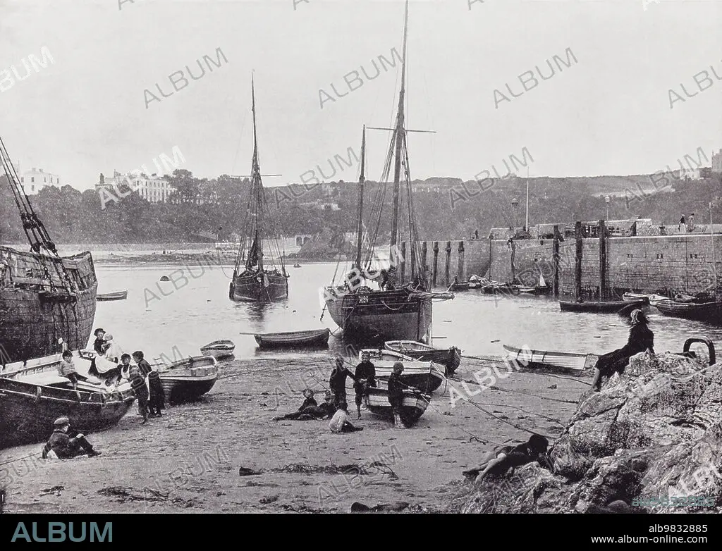
1895 • AGUAFUERTE • ARCHIVO • BRITANICO • BRITANICOS • COSTA • DECORACION • DECORATIVO • DOCUMENTO • EMBARCADERO • ENGRAVING • EPOCA VICTORIANA • FAMILIA • FAMILIAR • FAMILY • FICHERO • FOTOGRAFIA • GALES • GRABADO • GRABADOS • HISTORIA • HISTORICO • ILUSTRACION • IMPRESION • INGLES • ISLAS BRITANICAS • LITORAL • PERIODO • PESCADORES • PLAYA • PUEBLO • PUERTO • S. XIX • SIGLO XIX • TENBY • VACACIONES • VICTORIANO • VINTAGE • VISTA
