alb5281072
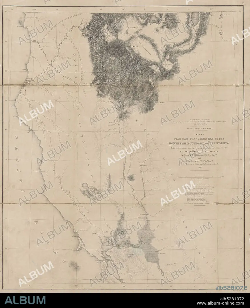
Map no. 1 from San Francisco Bay to the northern boundary of California , cartographic, Maps, 1855, Davis, Jefferson, 1808-1889, Williamson, R. S. (Robert Stockton), 1824-1882, Abbot, Henry L., Fillebrown, H. C., Anderson, C. D., Gibbs, George, 1815-1873.
| Compartir |
|---|
 Pinterest Pinterest |
 Twitter Twitter |
 Facebook Facebook |
 Copiar enlace Copiar enlace |
 Email Email |
|
Añadir a otro lightbox |
|
Añadir a otro lightbox |


¿Ya tienes cuenta? Iniciar sesión
¿No tienes cuenta? Regístrate
Compra esta imagen.
Selecciona el uso:

Descripción:
Ver traducción automática
Map no. 1 from San Francisco Bay to the northern boundary of California , cartographic, Maps, 1855, Davis, Jefferson, 1808-1889, Williamson, R. S. (Robert Stockton), 1824-1882, Abbot, Henry L., Fillebrown, H. C., Anderson, C. D., Gibbs, George, 1815-1873
Personas:
Crédito:
Album / quintlox
Autorizaciones:
Modelo: No - Propiedad: No
¿Preguntas relacionadas con los derechos?
¿Preguntas relacionadas con los derechos?
Tamaño imagen:
5127 x 6000 px | 88.0 MB
Tamaño impresión:
43.4 x 50.8 cm | 17.1 x 20.0 in (300 dpi)
Palabras clave:
