alb5396813
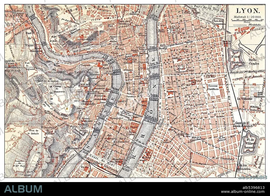
Historical map of Lyon, France, 19th century, from Meyers Konversations-Lexikon encyclopaedia, 1890, Europe.
| Compartir |
|---|
 Pinterest Pinterest |
 Twitter Twitter |
 Facebook Facebook |
 Copiar enlace Copiar enlace |
 Email Email |
|
Añadir a otro lightbox |
|
Añadir a otro lightbox |


¿Ya tienes cuenta? Iniciar sesión
¿No tienes cuenta? Regístrate
Compra esta imagen.
Selecciona el uso:

Descripción: Ver traducción automática
Historical map of Lyon, France, 19th century, from Meyers Konversations-Lexikon encyclopaedia, 1890, Europe
Historical map of Lyon, France, 19th century, from Meyers Konversations-Lexikon encyclopaedia, 1890, Europe
Crédito: Album / ImageBroker / H.-D. Falkenstein
Autorizaciones: ? Cesión de modelo: No - ? Cesión de propiedad: No
¿Preguntas relacionadas con los derechos?
¿Preguntas relacionadas con los derechos?
Tamaño imagen: 5090 × 3441 px | 50.1 MB
Tamaño impresión: 43.1 × 29.1 cm | 2003.9 × 1354.7 in (300 dpi)
Palabras clave: CUADRO • CUADROS • EDAD • ENCICLOPEDIA • EUROPA • FIGURA • FRANCIA • HISTORIA • HISTORICO • LABOR • LIBRO DE REFERENCIA • LIBRO • LIBROS • LION (LYON) • LYON • MAPA URBANO • PINTURA • PINTURAS • PLANES • PLANIFICACIÓN • REPRESENTACIONES • SIGLO XIX • TRABAJANDO • TRABAJO
