alb9619961
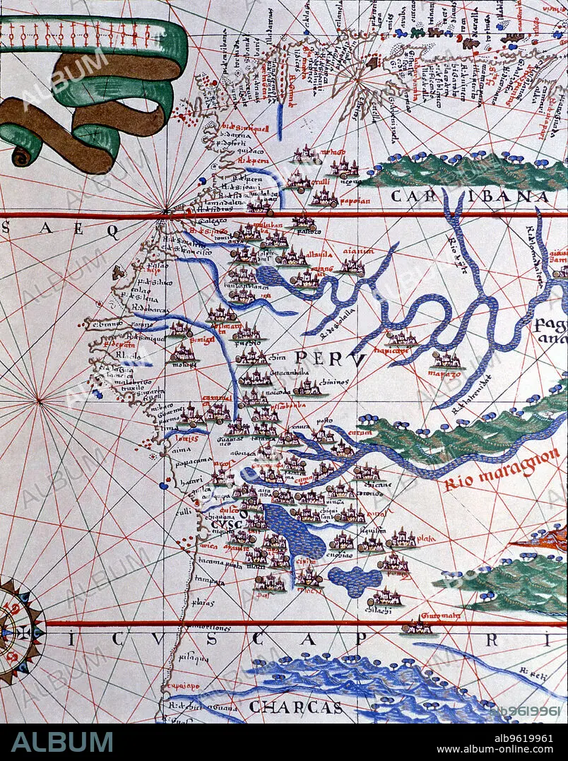
Atlas of Joan Martines, Messina, 1582. Portulan chart of the West Coast of America (Peru, Ecuador…
| Compartir |
|---|
 Pinterest Pinterest |
 Twitter Twitter |
 Facebook Facebook |
 Copiar enlace Copiar enlace |
 Email Email |
|
Añadir a otro lightbox |
|
Añadir a otro lightbox |


¿Ya tienes cuenta? Iniciar sesión
¿No tienes cuenta? Regístrate
Compra esta imagen.
Selecciona el uso:

Título: Atlas of Joan Martines, Messina, 1582. Portulan chart of the West Coast of America (Peru, Ecuador…
Descripción: Ver traducción automática
Atlas of Joan Martines, Messina, 1582. Portulan chart of the West Coast of America (Peru, Ecuador and Colombia).
Atlas of Joan Martines, Messina, 1582. Portulan chart of the West Coast of America (Peru, Ecuador and Colombia).
Crédito: Album / Mithra/Index/Heritage Images
Autorizaciones: ? Cesión de modelo: No - ? Cesión de propiedad: No
¿Preguntas relacionadas con los derechos?
¿Preguntas relacionadas con los derechos?
Tamaño imagen: 3930 × 5008 px | 56.3 MB
Tamaño impresión: 33.3 × 42.4 cm | 1547.2 × 1971.7 in (300 dpi)
