alb3803932
Gerardus Mercator
| Compartir |
|---|
 Pinterest Pinterest |
 Twitter Twitter |
 Facebook Facebook |
 Copiar enlace Copiar enlace |
 Email Email |
|
Añadir a otro lightbox |
|
Añadir a otro lightbox |


¿Ya tienes cuenta? Iniciar sesión
¿No tienes cuenta? Regístrate
Compra esta imagen.
Selecciona el uso:

Título: Gerardus Mercator
Descripción: Ver traducción automática
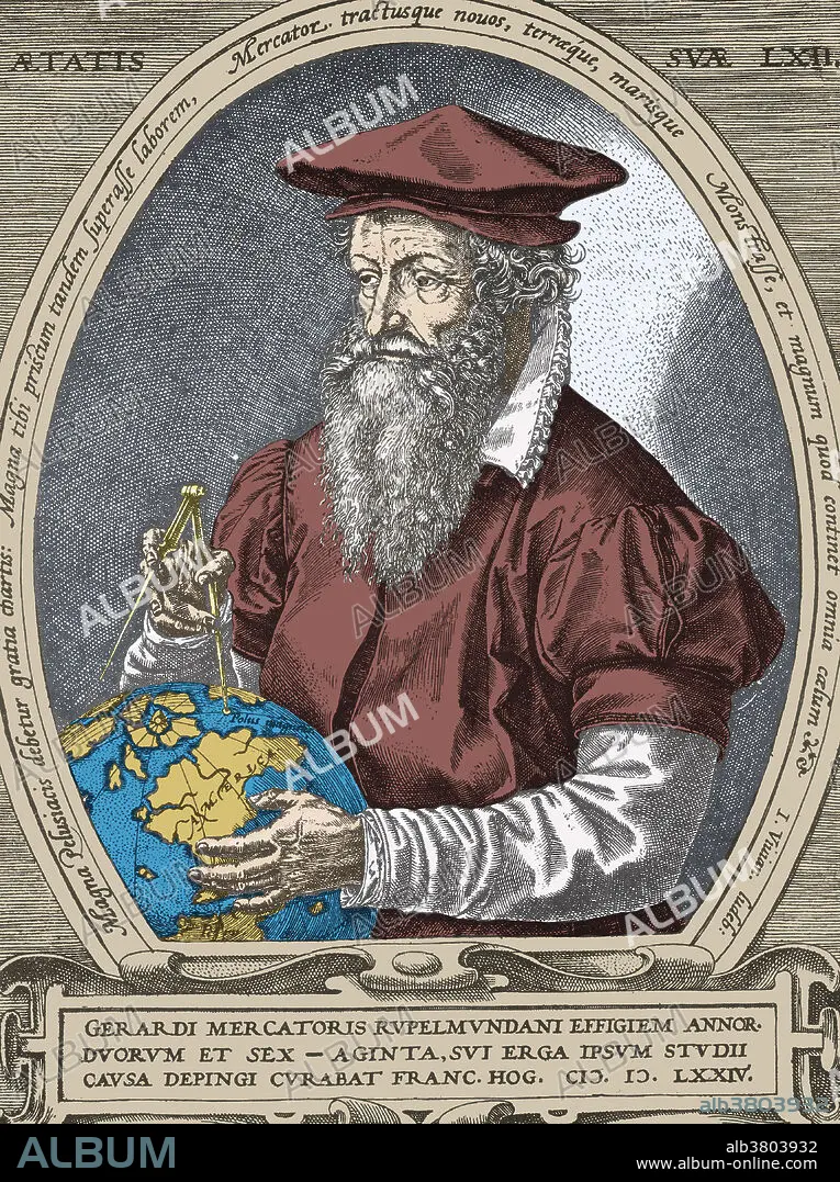
Flemish geographer Gerardus Mercator (1512-1594). Mercator's most enduring contribution was his Mercator Projection, or Mercator Chart. The Mercator Projection became the standard map for nautical use, because it depicted accurate shapes of land mass and also accurate directions used for determining bearing. It did so at the expense of scale, which was distorted. His work was continued by his son, Rumold Mercator. Colored Version of BD8016.
Flemish geographer Gerardus Mercator (1512-1594). Mercator's most enduring contribution was his Mercator Projection, or Mercator Chart. The Mercator Projection became the standard map for nautical use, because it depicted accurate shapes of land mass and also accurate directions used for determining bearing. It did so at the expense of scale, which was distorted. His work was continued by his son, Rumold Mercator. Colored Version of BD8016.
Crédito: Album / SCIENCE SOURCE
Autorizaciones: ? Cesión de modelo: No - ? Cesión de propiedad: No
¿Preguntas relacionadas con los derechos?
¿Preguntas relacionadas con los derechos?
Tamaño imagen: 3445 × 4614 px | 45.5 MB
Tamaño impresión: 29.2 × 39.1 cm | 1356.3 × 1816.5 in (300 dpi)
Palabras clave: ARTE • CARTOGRAFIA • CARTOGRAFO • CIENCIA • FAMOSA • FAMOSO • FAMOSOS • FIGURA • FLAMENCO (DE FLANDES) • GENTE • GEOGRAFIA • GÉRARD • GRAFICO • HISTORIA • HISTORICO • HOMBRE • HOMBRES • ILUSTRACION • ILUSTRACIONES • MAPA • MASCULINO • PERSONA • PORTRAIT • RETRATO DE HOMBRE • RETRATO • TENIENDO
